")
ICESat-2: The Link between Lasers and Tractors
This event has passed. See the seminar recording here:
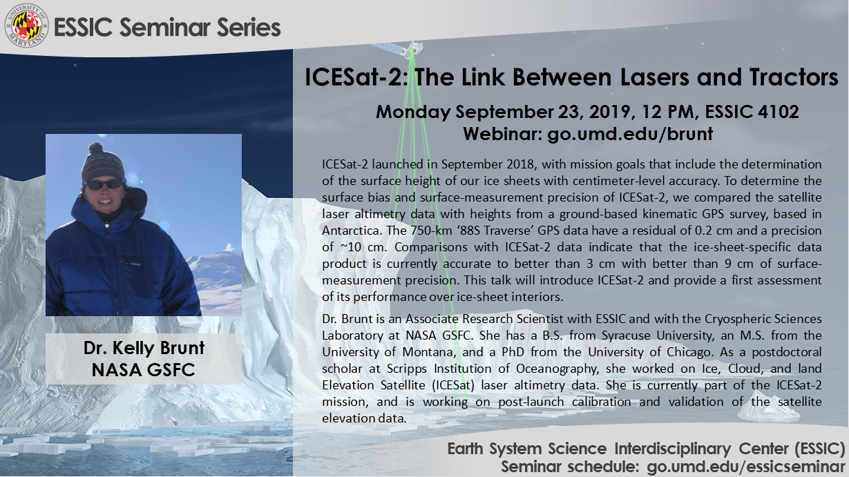
Dr. Kelly Brunt
NASA Goddard Space Flight Center
Monday September 23, 2019, 12 PM
ESSIC Conference Room 4102, 5825 University Research Ct, College Park, MD 20740
Abstract:
The Ice, Cloud, and land Elevation Satellite 2 (ICESat-2) mission launched in September 2018, with mission goals that include the determination of the surface height of our ice sheets with centimeter-level accuracy. ICESat-2 carries a single instrument: the Advanced Topographic Laser Altimeter System (ATLAS). ATLAS is a six-beam, photon-counting laser altimeter, pulsing with a 10 kHz repetition frequency, and detects ‘photon events’ using single-photon-sensitive detectors. The ICESat-2 global dataset provides a dense along-track and across-track representation of surface heights. To determine the surface bias and surface-measurement precision of ICESat-2 data products, including ATL03 photon-based heights and ATL06 segment-based heights, we compared these data with heights from an extensive ground-based kinematic GPS survey, based out of South Pole Station, Antarctica. The 750-km ‘88S Traverse’ GPS data are internally consistent with a residual of 0.2 cm and a precision of ~10 cm. Comparisons with ICESat-2 data indicate that: ATL03 is currently accurate to ~5 cm with ~10 cm of surface-measurement precision; and ATL06 is currently accurate to better than 3 cm with better than 9 cm of surface-measurement precision. For completeness, we also show comparisons between our ground-based data and heights from Operation IceBridge (specifically, Airborne Topographic Mapper, ATM) and CyroSat-2. Here, we present these comparisons, with a focus on providing a first assessment of ICESat-2 performance over ice-sheet interiors.
Bio-sketch:
Dr. Brunt is an Associate Research Scientist with Earth System Science Interdisciplinary Center, at the University of Maryland and the NASA Cryospheric Sciences Laboratory. She obtained a B.S. and an M.S. in Geology from Syracuse University and the University of Montana, respectively. She received her Ph.D. in Geophysics from the University of Chicago in 2008, modeling ice-shelf flow and the connection between ice shelves and the ocean. As a postdoctoral scholar at Scripps Institution of Oceanography, she worked on Ice, Cloud, and land Elevation Satellite (ICESat) laser altimetry data. Dr. Brunt is currently part of the ICESat-2 mission, and is working on post-launch calibration and validation of the satellite elevation data.
Webinar info:
Event site: http://go.umd.edu/brunt
Event number: 737 287 212
Event password: essic
——————————————————-
To join the online event
——————————————————-
1. Click here to join the online event.
Or copy and paste the following link to a browser:
https://umd.webex.com/umd/onstage/g.php?MTID=e9f73d038e7afccc273a68fab4ba40c62
2. Click “Join Now”.
——————————————————-
To join the audio conference only
——————————————————-
US Toll: +1-415-655-0002
Global call-in numbers:
https://umd.webex.com/umd/globalcallin.php?MTID=ea9bead4c99a2bf730404131d2581f5c6
Access code: 737 287 212
——————————————————-
For IT assistance
——————————————————-
Cazzy Medley: cazzy@umd.edu
Travis Swaim: tswaim1@umd.edu
Follow ESSIC:
ESSIC homepage: http://essic.umd.edu/
ESSIC seminar schedule/archive: http://go.umd.edu/essicseminar
ESSIC seminar site: https://go.umd.edu/essicseminarsite
ESSIC Youtube: https://www.youtube.com/user/ESSICUMD
ESSIC Twitter: http://twitter.com/ESSICUMD
ESSIC Facebook: http://facebook.com/ESSICUMD
ESSIC seminar coordinator: Dr. John Yang, jxyang@umd.edu
Contact coordinator for subscribing email announcement or giving a talk