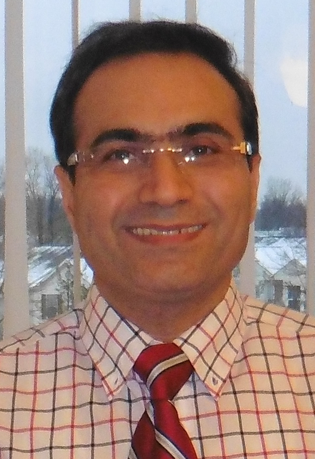
Home » Highlights » Page 26

Category: Highlights

Graphic abstract, all text is in the abstract

Improving Flood and Drought Management in Agricultural River Basins

ESSIC Post-doctoral Associate Natthachet Tangdamrongsub is a co-author on a new study in Water Policy that aims at the solutions to mitigate flood and drought damage to agriculture. For this international paper, Tangdamrongsub worked alongside researchers from the Rajamangala University of Technology Thanyaburi in Thailand and the IHE Delft Institute for Water Education in the Netherlands.

Read More »
Figure: Total transmittance from surface to satellite (black line). The red line is the accumulated CRTM radiance Jacobian to ozone profile. Symbol “c” is the position at 331 nm used to estimate surface reflectance. The symbol “o” are the two channels, that we propose, to estimate the surface reflectance. The surface reflectance for other channels is either interpolated or extrapolated from the two reflectance at 347.6 nm and 371.8 nm.

UV Surface Reflectance from OMPS Nadir Mapper (NM) Radiance—Simulation and Assimilation

ESSIC/CISESS scientists Christopher Grassotti and Xingming Liang are co-authors in a recently published study that documents the first ultraviolet radiance assimilation for atmospheric ozone in the troposphere and stratosphere. The paper, titled “Experimental OMPS Radiance Assimilation through One-Dimensional Variational Analysis for Total Column Ozone in the Atmosphere”, was published in Remote Sensing and includes co-authors from the NOAA/NESDIS Center for Satellite Applications and Research.

Read More »
The researchers smile in front of a plane.

UMD, ESSIC Researchers Find Evidence of New CFC Production

In 1986, chlorofluorocarbons (CFCs), chemical compounds known to break down ozone in the atmosphere, were banned by the Montreal Protocol. This led to an immediate rapid decline in emissions. However, recent studies have shown that CFC-11 emissions have increased, suggesting a contribution from eastern Asia.

Read More »
A NOAA visualization of Tropical Storm Fred's path up the East Coast, which spreads from Alabama and Mississippi to northern New York and western Massachussets

Performance of NOAA Satellite-based Precipitation Products During Tropical Storm Fred

On August 18, 2021, the western part of North Carolina suffered a catastrophic flash flood caused by Tropical Storm Fred. As part of a NOAA/STAR precipitation validation project, CISESS science team Malar Arulraj, Veljko Petković, Ralph Ferraro, and Huan Meng evaluated the performance of different satellite-based precipitation products during this event using Multi-Radar/Multi-Sensor (MRMS) observations.

Read More »
A tall iceberg melts in ocean waters.

State of the Climate in 2020: The Arctic

ESSIC/CISESS scientist Sinéad Farrell is one of the contributors to the new “State of the Climate in 2020: The Arctic”, released by the American Meteorological Society (AMS) in the August 2021 issue of the monthly bulletin (BAMS). She co-authored the section on sea ice extent.

Read More »
Figure: Photo of Terrence (left) and Guangyang (right) working on the GPS cable. The lightning detector is on the left-hand side of the picture. The triangle-shaped antenna detects the VHF radiation produced by lightning strikes.

DCLMA Lightning Detection Antenna Repairs

This week, ESSIC/CISESS Scientists Joseph Patton and Guangyang Fang and Summer Intern Terrence Pierce visited one of our lightning detection stations on the campus of Howard University-Beltsville. The GPS antenna for the station had been giving them trouble, so they installed new connectors for the cable that connects the GPS antenna to the lightning detection computer, and that seems to have resolved the problem.

Read More »
Figure: Collocated and globally averaged SST biases against Argo observations. A 15-day filter is applied to all curves for readability.

NOAA Daily Optimum Interpolation Sea Surface Temperature (DOISST) Version 2.1

ESSIC/CISESS Visiting Research Scientist Tom Smith is coauthor of an article on DOISST v.2.1 coming out in the September 2021 issue of the Journal of Climate. The paper, titled “Assessment and Intercomparison of NOAA Daily Optimum Interpolation Sea Surface Temperature (DOISST) Version 2.1”, shows how the improved NOAA operational analysis compares to several other available analyses.

Read More »
Figure: This is a precipitation event on 29 August 2020 over the Pacific Ocean near the lower California peninsula. (a) the cross-track radiometer precipitation data, (b) the conical scanning radiometer precipitation data, (c) the reference data for the event, and (d) the “morphed” radiometer precipitation data. The box shows the area of improvement due to morphing.

Improving Satellite Precipitation Retrieval

ESSIC/CISESS Scientists Yalei You, John Xun Yang, and Jun Dong have a new article on using “morphing” to improve rain data from cross-track scanning radiometers. The paper, titled “Improving Cross-track Scanning Radiometers’ Precipitation Retrieval over Ocean by Morphing”, is in press at the Journal of Hydrometeorology.

Read More »