")
Petković is Primary Convener for AGU Fall Meeting Session
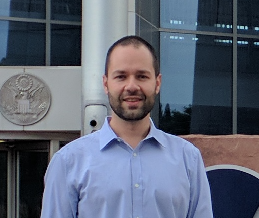
Veljko Petkovic, ESSIC/CISESS Assistant Research Scientist, is a primary convener for the AGU Fall Meeting 2021 session on Machine Learning applications on precipitation processes. This session, titled “Precipitation Through the Eyes of Machine Learning and Advanced Statistics: Remote Sensing, Uncertainties and Variability” will highlight contributions on precipitation-related AI/ML studies seeking physical implications, model interpretations, visualizations, remote sensing applications and uncertainty analyses that can identify novel elements in understanding of precipitation processes.