")
A Deep Dive into Spectral, Spatial, and Temporal Representations of Earth Observation Foundation Models
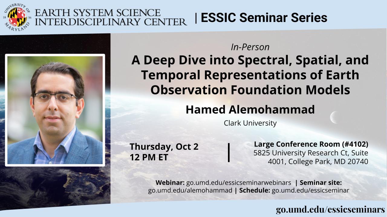
Hamed Alemohammad
Clark University
Thursday, October 2, 2025, 12 PM ET
In-Person Seminar Info: This seminar will be held at noon at Rm 4102 of ESSIC, 5825 University Research Ct. College Park, MD 20740. Refreshments will be available for those who attend in person, and a Zoom option is also available for virtual attendees.
Click here to RSVP for attendance
Abstract:
Geospatial AI (GeoAI) is rapidly transforming how we consume geospatial data, derive insights, and interact with the world. This transformation is driven by the growing availability of geospatial data and advances in AI model architectures. In particular, Earth Observation Foundation Models (EO FMs)—trained on large-scale unlabeled satellite imagery—have shown promising results in a diverse set of downstream tasks, especially in data-scarce or distribution-shifted scenarios.
However, there has been limited work on characterizing what these models learn during pretraining, particularly with respect to the spectral, spatial, and temporal properties inherent in remote sensing data. Understanding these learned representations is critical for both improving performance and ensuring robustness in real-world applications.
In this talk, I will present recent advancements in EO FMs and introduce an explainable AI framework to assess whether these models effectively capture geospatial properties. I will showcase two applications: (1) a new benchmark designed to evaluate how well EO FMs embed spectral and temporal information, and (2) a foundation model trained on polarimetric SAR data for soil moisture retrieval, with an analysis of the embedding space information during pretraining and fine-tuning stages.
Biosketch:
Hamed Alemohammad is an Associate Professor in the Graduate School of Geography and Director of the Center for Geospatial Analytics at Clark University. He is a technical leader and interdisciplinary scholar with extensive expertise and knowledge in remote sensing, earth science, and artificial intelligence (AI). His research interest lies at the intersection of geospatial analytics/AI and geography to use observations to better understand the changing Earth system. Hamed has been the PI for several projects focused on developing novel AI models for multispectral, microwave and synthetic aperture radar (SAR) satellite observations. In recent years, his research has been focused on development, application and benchmarking of Earth Observation foundation models. Hamed serves as a member of the Technical Advisory Committee of Digital Earth Africa, and AGU’s Remote Sensing Technical Committee. Prior to Clark University, Hamed was the Chief Data Scientist and Executive Director at Radiant Earth where he established and led the development of Radiant MLHub – the open-access repository for geospatial training data and AI models. Hamed received his Ph.D. in Civil and Environmental Engineering from MIT.
Hybrid (In-Person & Virtual):
This is a hybrid (in-person & virtual) seminar with refreshments served at Rm 4102, 5825 University Ct, MD
Event site: https://go.umd.edu/alemohammad
Zoom Webinar: https://go.umd.edu/essicseminarwebinars
Zoom Meeting ID: 918 7733 3086
Zoom password: essic
US Toll: +13017158592
Global call-in numbers: https://umd.zoom.us/u/aMElEpvNu
For IT assistance:
Cazzy Medley: cazzy@umd.edu
Resources:
Seminar schedule & archive: https://go.umd.edu/essicseminar
Seminar Google calendar: https://go.umd.edu/essicseminarcalendar
Seminar recordings on Youtube: https://www.youtube.com/user/ESSICUMD
