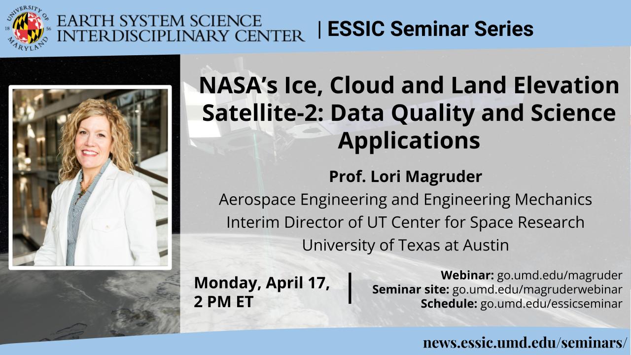
NASA’s Ice, Cloud and Land Elevation Satellite-2: Data Quality and Science Applications
Prof. Lori Magruder
Aerospace Engineering and Engineering Mechanics
Interim Director of UT Center for Space Research
University of Texas at Austin
Monday April 17, 2023, 2 PM ET
Abstract:
NASA launched the Ice, Cloud and land Elevation Satellite-2 (ICESat-2) in September 2018. The satellite carries a single instrument: a laser altimeter with photon-counting technology to provide global elevation measurements with unprecedented along-track spatial resolution. The primary scientific goal of the mission is to support cryospheric studies, including assessing ice sheet mass balance and sea ice extent. However, opportunity exists to leverage this unique system architecture and instrumentation to greatly extend the measurement capabilities of ICESat-2 and open new avenues of scientific research and global change assessment. This presentation will cover key findings of recent research into new and emerging capabilities of ICESat-2 and a vision for a long-range, multidisciplinary research program, building from these results.
Central to extending the utility of ICESat-2 into new scientific realms are calibration and validation studies that ensure the data quality requirements for science products are met. This is typically done through comparison to independent elevation measurements directly to establish vertical accuracy. For horizontal geolocation accuracy the processes are more complicated but can be done using passive ground-based optical components (corner cube retroreflectors (CCR). Arrays of CCRs can produce a unique signature in the ICESat-2 signal that can be used to determine a laser footprint level geolocation accuracy while the geometry of the illuminated optics allow for measuring the footprint diameter.
Ongoing validation efforts confirm the satellite operations remain nominal and new measurement applications are investigated. One of the most exciting—and unanticipated—is the ability to map bathymetry in water depths of up to 50 m, a capability that was not part of ICESat-2 Level 1 mission requirements. Comparisons against high-accuracy reference bathymetry show vertical RMSEs of < 1m across differing coastal regions and substrates. Fusion of ICESat-2 and multispectral satellite imagery allows contiguous bathymetric mapping across large coastal areas worldwide. By involving undergraduate and graduate students in this research, a new generation of aerospace engineers and geospatial scientists will have the opportunity to continue to broaden these capabilities and contribute to future satellite mission architectures.
Biosketch:
Dr. Lori Magruder is an associate professor at the University of Texas at Austin in the Aerospace Engineering and Engineering Mechanics department and the Interim Director of UT Center for Space Research (CSR). Her research is primarily dedicated to remote sensing instrumentation, implementation, validation and 3D geospatial data exploitation. Dr. Magruder received her bachelor’s degree from The University of Southern California in Aerospace Engineering and her master’s degree from Princeton University in Mechanical and Aerospace Engineering. Her Ph.D. was earned from The University of Texas at Austin with a focus on ground-based validation techniques for the laser altimeter onboard NASA’s ICESat (Ice, Cloud and Land Elevation Satellite) satellite. She has held positions at NASA’s Jet Propulsion Laboratory and The Johns Hopkins Applied Physics Laboratory prior to returning to UT Austin. Dr. Magruder served as the ICESat-2 Science Team lead from 2014-2023 and has supported this mission through pre-launch development, launch (2018) and on-orbit operations. In addition to her current scientific studies for space-based laser altimetry, Dr. Magruder is involved with many other NASA and Department of Defense programs at CSR with her expertise in geospatial topics with a unique link between engineering and science applications through remote sensing.
Webinar:
Event site: https://go.umd.edu/magruder
Zoom Webinar: https://go.umd.edu/magruderwebinar
Zoom Meeting ID: 981 4946 5526
Zoom password: essic
US Toll: +13017158592
Global call-in numbers: https://umd.zoom.us/u/aMElEpvNu
For IT assistance:
Cazzy Medley: cazzy@umd.edu
Resources:
Seminar schedule & archive: https://go.umd.edu/essicseminar
Seminar Google calendar: https://go.umd.edu/essicseminarcalendar
Seminar recordings on Youtube: https://www.youtube.com/user/ESSICUMD

