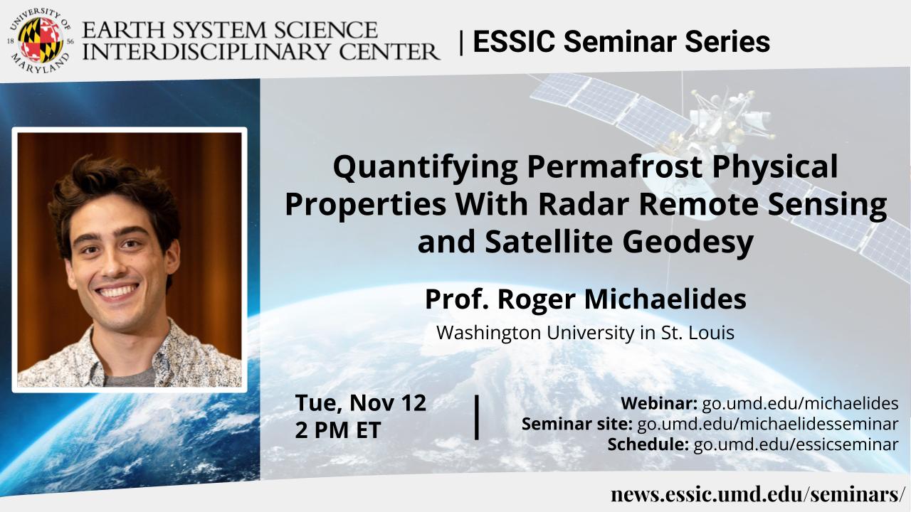
Quantifying Permafrost Physical Properties With Radar Remote Sensing and Satellite Geodesy
Prof. Roger Michaelides
Washington University in St. Louis
Tuesday November 12, 2024, 2 PM ET
Abstract:
Interferometric Synthetic Aperture Radar (InSAR) is an active source microwave imaging technique capable of resolving fine resolution deformation of the Earth’s surface at centimetric to millimetric precision. InSAR has been successfully used to generate high resolution digital elevation models of the Earth’s surface topography, measure crustal deformation associated with volcanic deformation, post-seismic and co-seismic deformation, ground motion associated with landsliding, and glacial flow velocities. In recent years, considerable developments have been made towards the study of permafrost freeze thaw and degradation from InSAR observations. In this talk, I will present several techniques in the fields of InSAR and polarimetric SAR (PolSAR) that can be leveraged to resolve fundamental properties of permafrost and the active layer in periglacial landscapes, with a focus on permafrost-wildfire interactions and surface hydrology. I will also discuss emerging methods of leveraging nuisance terms (e.g., interferometric phase noise, phase nonclosure) for environmental retrievals of soil moisture and wildfire burn extent.
Biosketch:
Roger Michaelides is an Assistant Professor of Earth, Environmental, and Planetary Sciences at Washington University in St. Louis. He is a radar geophysicist by training, interested in developing and applying novel techniques and methodologies towards studying properties of terrestrial and planetary surface processes and hydrologic systems, with a primary interest in the Arctic and periglacial landscapes. He has extensive experience working with synthetic aperture radar (SAR) datasets, including time series analysis and geodetic inversion, algorithm development, error quantification, deformation modeling, and analysis. He also has experience in multi-sensor fusion of different radar operating modes over periglacial land surfaces, planetary radar altimetry waveform analysis, and SAR signal modeling and processing. He has been a member of the NASA ABoVE Science Team since 2016, and a member of the Decadal Survey Incubation (DSI) Surface Topography and Vegetation Incubation Team (STV-IT) since 2022. Prior to arriving at Washington University in St. Louis, he was a Postdoctoral Research Associate in the Department of Geophysics at Colorado School of Mines from 2020-2022. Roger Michaelides received B.A. degrees in Physics and Science of Earth Systems from Cornell University in 2015, and the Ph.D. degree in Geophysics from Stanford University in 2020.
Webinar:
Event site: https://go.umd.edu/michaelides
Zoom Webinar: https://go.umd.edu/michaelideswebinar
Zoom Meeting ID: 992 3322 0419
Zoom password: essic
US Toll: +13017158592
Global call-in numbers: https://umd.zoom.us/u/aMElEpvNu
For IT assistance:
Cazzy Medley: cazzy@umd.edu
Resources:
Seminar schedule & archive: https://go.umd.edu/essicseminar
Seminar Google calendar: https://go.umd.edu/essicseminarcalendar
Seminar recordings on Youtube: https://www.youtube.com/user/ESSICUMD

