Contact Info
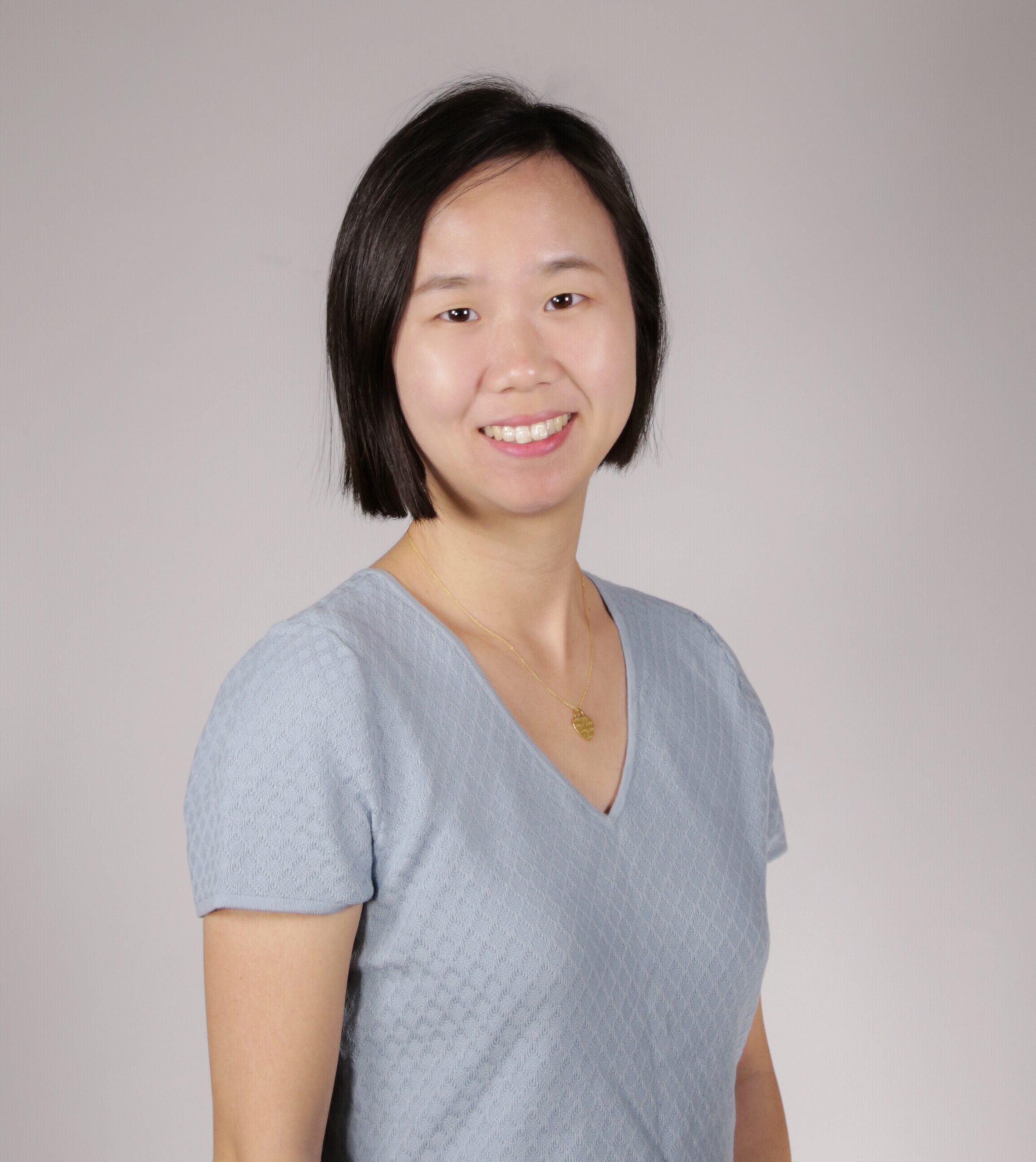
Qing Ying
Post-doctoral Associate
Education
B.E. Remote Sensing Science and Technology, Wuhan University
M.S. Cartography and Geographic Information System, Chinese Academy of Sciences
Ph.D. Geographical Sciences, University of Maryland
M.S. Cartography and Geographic Information System, Chinese Academy of Sciences
Ph.D. Geographical Sciences, University of Maryland
Research Interests:
Qing Ying is a remote sensing researcher specializing in Land Cover and Land Use Change at both local and global scales. Her work revolves around harnessing the power of satellite products and artificial intelligence to effectively model, estimate, and monitor physical land cover and human utilization of land surfaces. Her current research focus is examining methane fluxes between wetlands and atmosphere and identifying the driving factors behind these changes.Throughout her career, Qing Ying has undertaken extensive research on various scales, from national to global, to analyze changes in wetlands, urban areas, bare ground, and forests. Her efforts have been instrumental in deepening our understanding of how terrestrial ecosystem processes and human activities influence the spatial-temporal patterns of land cover and carbon cycles.

