Home » Oceanography » Page 7

Tag: Oceanography

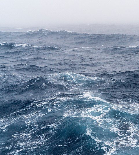
A visualization of the southern ocean

Faster Warming of the Slope Sea

Alexey Mishonov, ESSIC/CISESS Associate Research Scientist and NOAA Affiliate, has a new article in press and published in the journal Limnology and Oceanography titled “Recent Warming and Decadal Variability of Gulf of Maine and Slope Water”.

Read More »
A scenic view of the ocean and the beach

GEO Blue Planet Coastal Flooding Working Group

The GEO Blue Planet Coastal Flooding Working Group has identified coastal bathymetry as a key information gap in many regions for the successful development and implementation of coastal flood forecasts. Emily Smail, Executive Director of the GEO Blue Planet Initiative and ESSIC/CISESS Senior Faculty Specialist, and Paul DiGiacomo, Chief of the Satellite Oceanography and Climatology Division in the NOAA/NESDIS Center for Satellite Applications and Research (STAR), are working to organize an international community of practice to share information on satellite derived bathymetry.

Read More »

NOAA Daily Optimum Interpolation Sea Surface Temperature

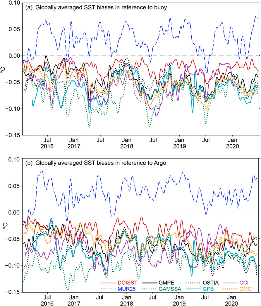
ESSIC/CISESS Visiting Research Scientist Tom Smith has co-authored a new paper in the Journal of Climate published online on June 17th. This article, titled “Assessment and Intercomparison of NOAA Daily Optimum Interpolation Sea Surface Temperature (DOISST) version 2.1”, shows the relative quality of a NESDIS SST analysis of NOAA Daily Optimum Interpolation Sea Surface Temperature (DOISST) version 2.1. The paper shows that the current version of the analysis has skill comparable to other global SST analyses.

Read More »
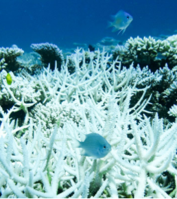
A coral, severely bleached to white

Coral Reef Watch’s Daily Global 5km Satellite Coral Bleaching Heat Stress Monitoring Products Contribute to New Allen Coral Atlas Bleaching Layer

NOAA Coral Reef Watch (CRW)’s operational daily global 5km satellite coral bleaching heat stress products are being used by Arizona State University (ASU) and its partners to create a new Bleaching layer (currently in beta status) in the Allen Coral Atlas. The Bleaching layer, which is updated every two weeks, detects variations in coral reef brightness using high-resolution Planet Dove satellite visible-band imagery and an advanced algorithm, to indicate whether reefs are experiencing heat stress, such as that from marine heatwaves, and bleaching.

Read More »
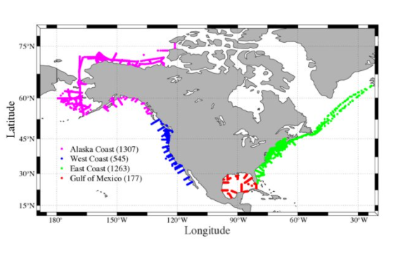
Figure. A map showing all the sampling profiles of the CODAP-NA data product. Numbers within the parentheses indicate the total number of profiles in each region.

Coastal Ocean Data Analysis Product in North America

ESSIC/CISESS Scientist Liqing Jiang led the development of a new data set called the Coastal Ocean Data Analysis Product in North America (CODAP-NA). It is an internally consistent data product for discrete inorganic carbon, oxygen, and nutrients on the U.S. North American ocean margins. CODAP-NA is one of the first major coastal ocean acidification (OA) data products. Its coverage includes all ocean margins of the conterminous United States, as well as part of Alaska. It will help the U.S. prepare OA mitigation and adaptation strategies. This collaborative effort is also a showcase example of NCEI/CISESS taking a leading role in a major synthesis effort involving NOAA labs (AOML and PMEL) and academic institutions (University of Maine, University of New Hampshire, University of Delaware, University of Miami, University of Alaska at Fairbanks, and Georgetown University). Earth System Science Data accepted an article on CODAP-NA on May 2. CISESS Scientist Alex Kozyr is a co-author.
Read More »
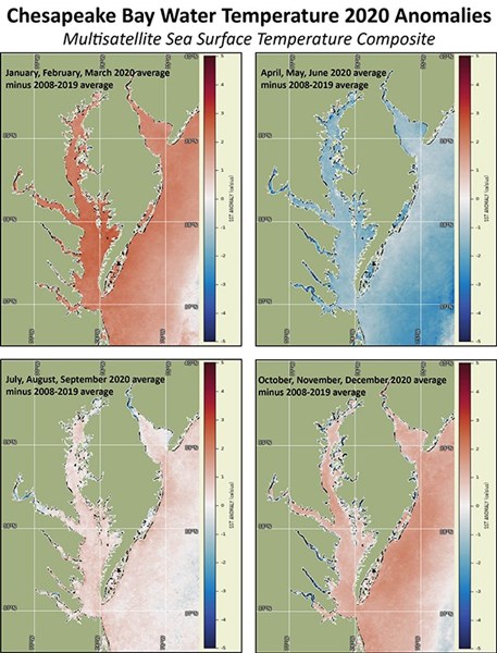
Figure: Satellite SST seasonal anomalies show warmer than average water temperatures from January through March 2020, cooler than average from April through June, near average July through September, and slightly warmer than average October through December.

Chesapeake Bay Office Commends Ron Vogel

ESSIC/CISESS Senior Faculty Specialist Ron Vogel, Operations Manager for the East Coast Node, was recently recognized and highly praised for his contributions to the NOAA Chesapeake Bay Office to identify satellite derived products that support habitat and fisheries management applications.

Read More »
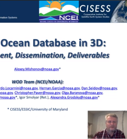
A screenshot of Mishnov presenting remotely over his powerpoint

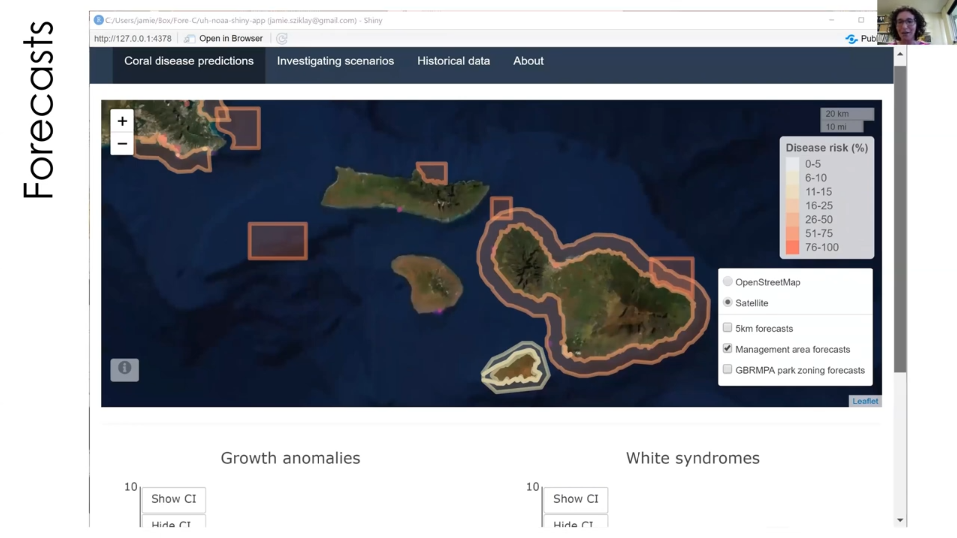
Mishonov Presents World Ocean Database in 3D

Alexey Mishonov, ESSIC/CISESS Associate Research Scientist, participated in the 2021 International Conference on Marine Data and Information Systems, held virtually this year between April 12-14. Mishonov presented a keynote talk titled, “World Ocean Database in 3D: Development, Dissemination, Deliverables”, which discussed the work completed alongside the World Ocean Database team, composed of ten other NCEI/NOAA scientists.

Read More »
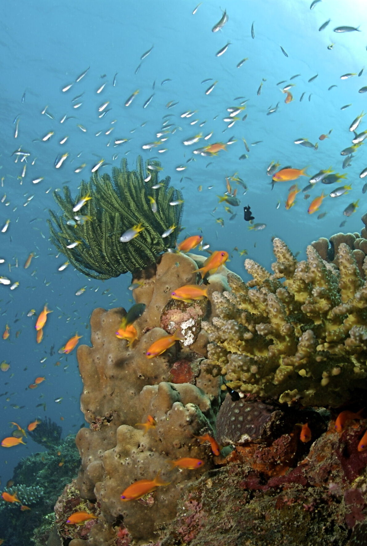
A colorful coral reef, surrounded by fish

Satellite Ocean Color for Reef Turbidity

ESSIC/CISESS scientists Erick Geiger, Gang Liu, and Jacqueline De La Cour at NOAA Coral Reef Watch have a new article on satellite ocean color data published in the 13 April 2021 issue of Frontiers in Marine Science. The goal of their study was to determine how best to fill satellite data gaps from cloud cover and quality control exclusions in shallow water. They tested a combination of six spatial (horizontal scale below) and seven temporal scales (vertical scale below) for aggregating data from the VIIRS instrument at several coral reef locations in Maui, Hawai‘i and Puerto Rico and compared these with in situ measurements of water turbidity.

Read More »