MJO Detours – Ocean’s Role and Impacts on the SPCZ
Prof. Raghu Murtugudde University of Maryland February 4, 2021, 11 AM EST Prof. Murtugudde will be joining us from overseas. The time zone difference plays

Prof. Raghu Murtugudde University of Maryland February 4, 2021, 11 AM EST Prof. Murtugudde will be joining us from overseas. The time zone difference plays

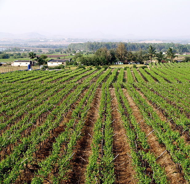
ESSIC/AOSC Professor Raghu Murtugudde is a co-author on a new article in Scientific Reports titled “Soil–vegetation moisture capacitor maintains dry season vegetation productivity over India”.

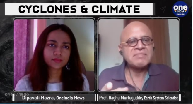
ESSIC/AOSC Professor Raghu Murtugudde is featured in a new interview in OneIndia about the frequency and intensity of cyclones, particularly over the Indian Ocean.

ESSIC/AOSC Professor Raghu Murtugudde is a co-author on a recent paper titled “Short and Medium Range Irrigation Scheduling using Stochastic Simulation‐Optimization Framework with farm‐scale Ecohydrological Model and Weather Forecasts” alongside colleagues from the Institute of Technology Bombay’s Department of Civil Engineering.

ESSIC/AOSC Professor Raghu Murtugudde recently published an op-ed in Current Opinion in Environmental Sustainability titled “We are very far from using earth system models for managing a public health crisis”.

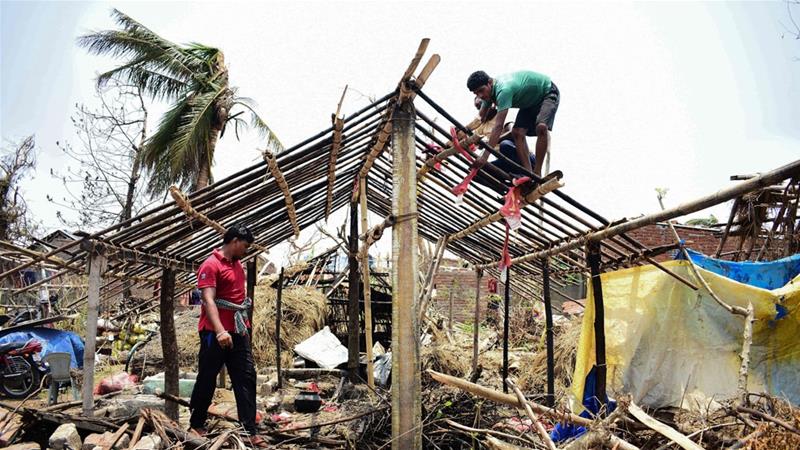
Early this month, India’s coastline was struck by Cyclone Fani, one of the strongest cyclones India has experienced in 20 years, according to a press release
Contributions from Wilfrid Schroeder (CICS-MD) and Janice Coen (NCAR)
Complex interactions between lightning and wildfires were on full display during summer 2012. Record heat and drought gave rise to massive wildfires and an extremely active wildfire season in the western United States. Over 8 million acres burned nationwide during June (1.36 million), July (2.01 million), August (3.64 million), and September (1.08 million), which is the second most acres burned since 2000. Despite the
This article describes the development, evolution, and impact of the 2012 Derecho through the eyes of the many scientists, journalists, and weather forecasters that have since documented its significance. A simple image search for this event yields two common results. The first result is an animation created by NASA that uses visible satellite imagery to illustrate the entire event. The second most common result is a YouTube video that overlays severe thunderstorm warnings with radar imagery
The Washington D.C. Lightning Mapping Array (DCLMA) consists of 10 sensors that monitor very high frequency radio waves emitted by lightning. The DCLMA has been operational since 2007, providing detailed 3-D lightning observations that help inform decision makers regarding severe weather and lightning threats. The DCLMA clearly depicts the areal coverage of lightning in real time, and recent studies indicate that increasing lightning flash rates often precede severe winds, hail, and tornados.