Convective Cold Pools and Their Implications for Storm Prediction
This event has passed. See the seminar recording here: Prof. Susan van den Heever Monfort Professor of Atmospheric Science Colorado State University Monday October

This event has passed. See the seminar recording here: Prof. Susan van den Heever Monfort Professor of Atmospheric Science Colorado State University Monday October

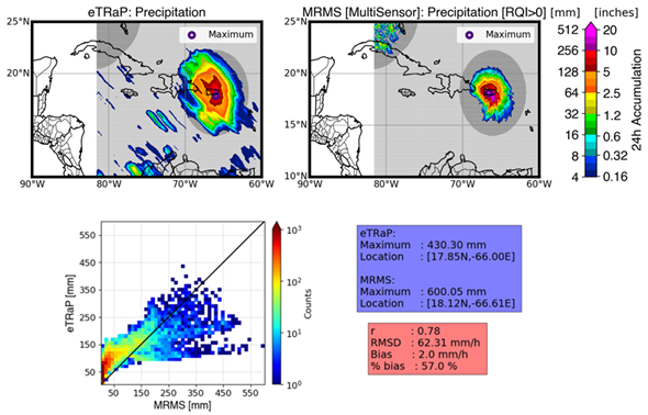
Tropical Storm Fiona struck Puerto Rico on September 17-18, 2022 causing catastrophic floods and leaving most of the island with a major power outage. Fiona is the first Atlantic storm this season to cause a major disaster. NPreciSe (NOAA Satellite Precipitation Validation System) led by the CISESS science team (Malar Arulraj, Veljko Petkovic, Ralph Ferraro, and Huan Meng), evaluated the performance of the Ensemble Tropical Rainfall Potential (eTRaP) forecasts during this event, using a recently added Multi-Radar/Multi-Sensor (MRMS) observation product over Caribbean Islands.

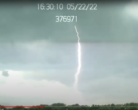
In May, Daile Zhang, Guangyang Fang, Joseph Patton, and an AOSC undergrad student Domenic Brooks set up Raspberry Pi cameras at two locations. Now, they capture a lightning storm!

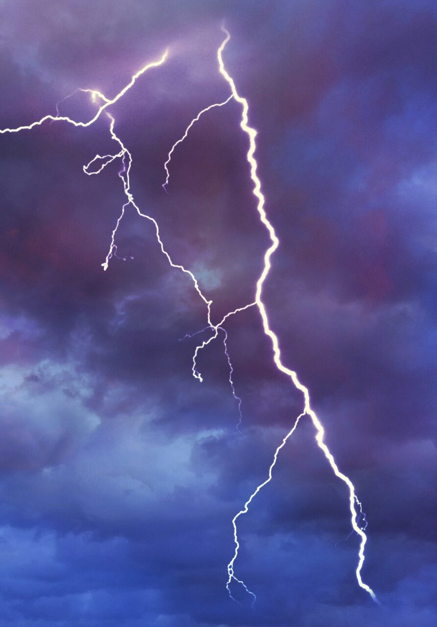
An interactive status page has been produced for each WSR-88D radar to illustrate the relative occurrence of lightning and severe weather in the context of varying radar status.

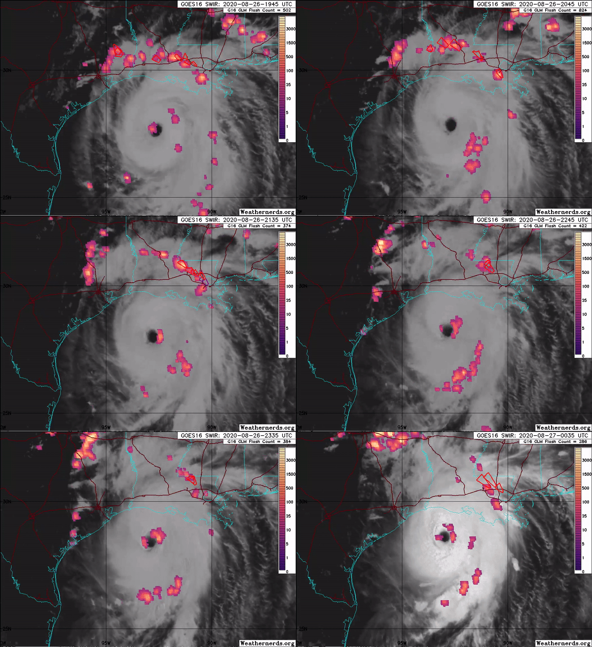
The Advanced Microwave Scanning Radiometer 2 (AMSR2) onboard the GCOM-W1 satellite captured Hurricane Laura, the deadly Category 4 hurricane that hit Louisiana in late August. AMSR2 is a remote sensing instrument used to measure weak microwave emission from Earth’s surface and atmosphere. SCSB- and CISESS-led products captured Hurricane Laura at various stages of development. Visiting Assistant Research Scientist Scott Rudlosky shared several images to his Twitter feed, which show considerable lightning around the eye wall during Laura’s intensification.