 ESSIC/CISESS scientist Will Miller was recently featured on the Sirius XM radio show, “On the Move with Dan Ronan”. The show is on “Road Dog Trucking”, a 24-hour channel devoted to the trucking industry.
On the show, Miller spoke about weather data, forecasts, and their improvements over the past several decades due to increased computing power, finer grid resolution, better fundamental understanding of weather, and enhanced satellite data. He noted that thunderstorms in particular remain difficult to predict due to their chaotic, small-scale nature. Miller suggested that truckers look at weather sites like NOAA’s Storm Prediction Center for daily thunderstorm severity outlooks covering the continental US.
How can good drivers avoid overconfidence in the face of driving in marginal weather? Miller advised that drivers always assume the storm is going to arrive sooner than they think, and to keep their eyes on the sky.
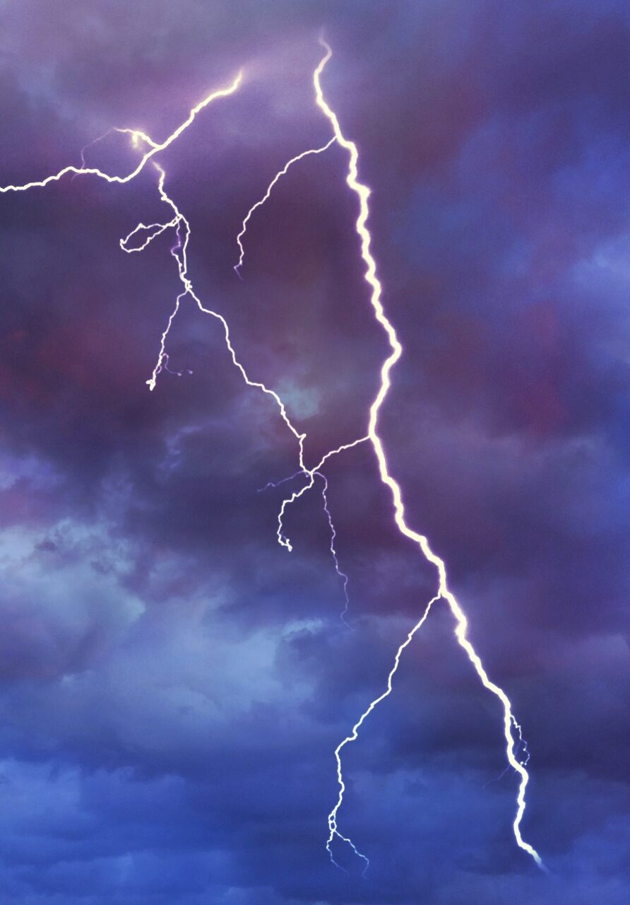
“I think sometimes the best forecast you can get is not from following any app, but [be aware] of certain cloud structures that could indicate hazardous weather coming. Thunderstorm clouds are distinct because they’re tall — 5-10 miles deep – so you can see them a long way off. A sign that thunderstorms are developing is when you see puffy vertical clouds, especially if they’re lining up in a way that suggests some kind of forcing,” said Miller.
What if drivers find themselves in a storm? Miller advises pulling off to a truck stop, remaining in the vehicle, and waiting out the storm. This is the safest option, especially if truckers are approaching large waterways and long bridges.
Miller is an Assistant Research Scientist at Earth System Science Interdisciplinary Center, University of Maryland. In his current research William explores the use of new satellite data platforms for providing atmospheric temperature and water vapor information to weather forecasting models.