Congratulations to Gang Liu for 20 Years’ Service in STAR
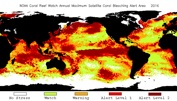
We are proud to honor Dr. Gang Liu, ESSIC/CISESS Associate Research Scientist and NOAA/NESDIS/STAR affiliate, who is celebrating 20 years with NOAA Coral Reef Watch this month.
")
We are proud to honor Dr. Gang Liu, ESSIC/CISESS Associate Research Scientist and NOAA/NESDIS/STAR affiliate, who is celebrating 20 years with NOAA Coral Reef Watch this month.
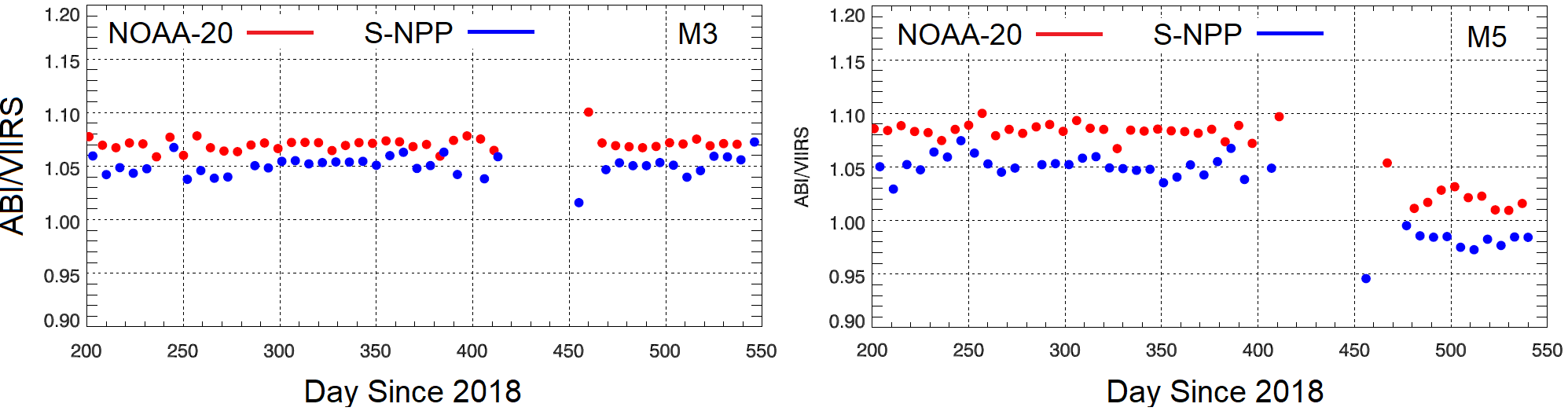
ESSIC/CISESS Senior Faculty Specialist Sirish Uprety and Associate Research Scientist Xi Shao are co-authors on a new paper about radiometric consistency between the Visible Infrared Imaging Radiometer Suite (VIIRS) onboard the Suomi National Polar-orbiting Partnership (S-NPP) and NOAA-20 satellites.
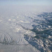
ESSIC Assistant Research Scientist Zhuosen Wang is a co-author on a new paper, “Evaluation of satellite remote sensing albedo retrievals over the ablation area of the southwestern Greenland ice sheet”.
Professor James Farquhar of the University of Maryland (UMD) Department of Geology and the Earth System Science Interdisciplinary Center (ESSIC) has been named a 2020 UMD Distinguished University Professor. The title of Distinguished University Professor is the highest academic honor bestowed by the university. Considered a national achievement, this award given to just 7% of tenured faculty honors impact and significant contribution to the nominee’s field, knowledge, profession, and/or practice.
Youtong Zheng, ESSIC/CISESS Post-doctoral Associate, has been awarded the prestigious Yuxiang Early Career Award in recognition of his research and achievements. This award is administered by the
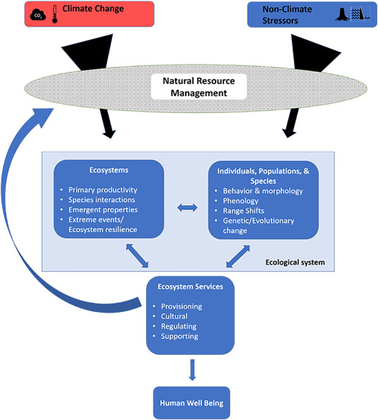
ESSIC Visiting Associate Research Professor Ariana Sutton-Grier has a new paper out in Science of the Total Environment about the impact of climate change on ecosystems and biodiversity.
ESSIC Associate Research Scientist Kelly Brunt was recently featured in a NOVA Virtual Field Trip, where she spoke on her own field work as well as ICESat-2, the satellite laser altimeter working to accurately and precisely measure changes in our polar regions.

A NOAA group including ESSIC/CISESS Visiting Associate Research Scientist Ralph Ferraro was recently awarded a NOAA Bronze Medal, the highest honor that can be granted by NOAA administrators. The group also included NESDIS recipients Al Wissman, Karen St. Germain, Mitch Goldberg, and Harry Cikanek, the Director of the NOAA Center for Satellite Applications and Research.
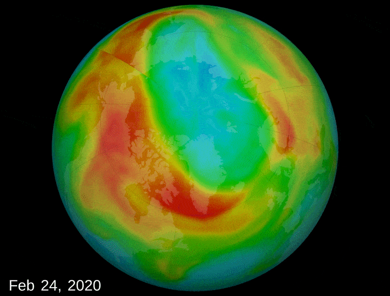
In March, a large region of very low ozone opened up above the Arctic, rivaling the historic Antarctic ozone hole that forms in the southern hemisphere each year. Extensive regions of low column ozone in the Arctic is a rare event that came about due to a very cold polar stratospheric vortex, which caused the formation of high altitude clouds and ozone-destroying reactions.
On April 30, 2020, NOAA Coral Reef Watch (CRW) and NESDIS’ Office of Satellite and Product Operations retired CRW’s heritage twice-weekly global 50km satellite coral bleaching heat stress monitoring product suite, replacing it with CRW’s next-generation daily global 5km coral bleaching heat stress monitoring products.