New Scoring Scale Tracks the Harmful Effects of Salt Pollution in Freshwater Streams and Rivers
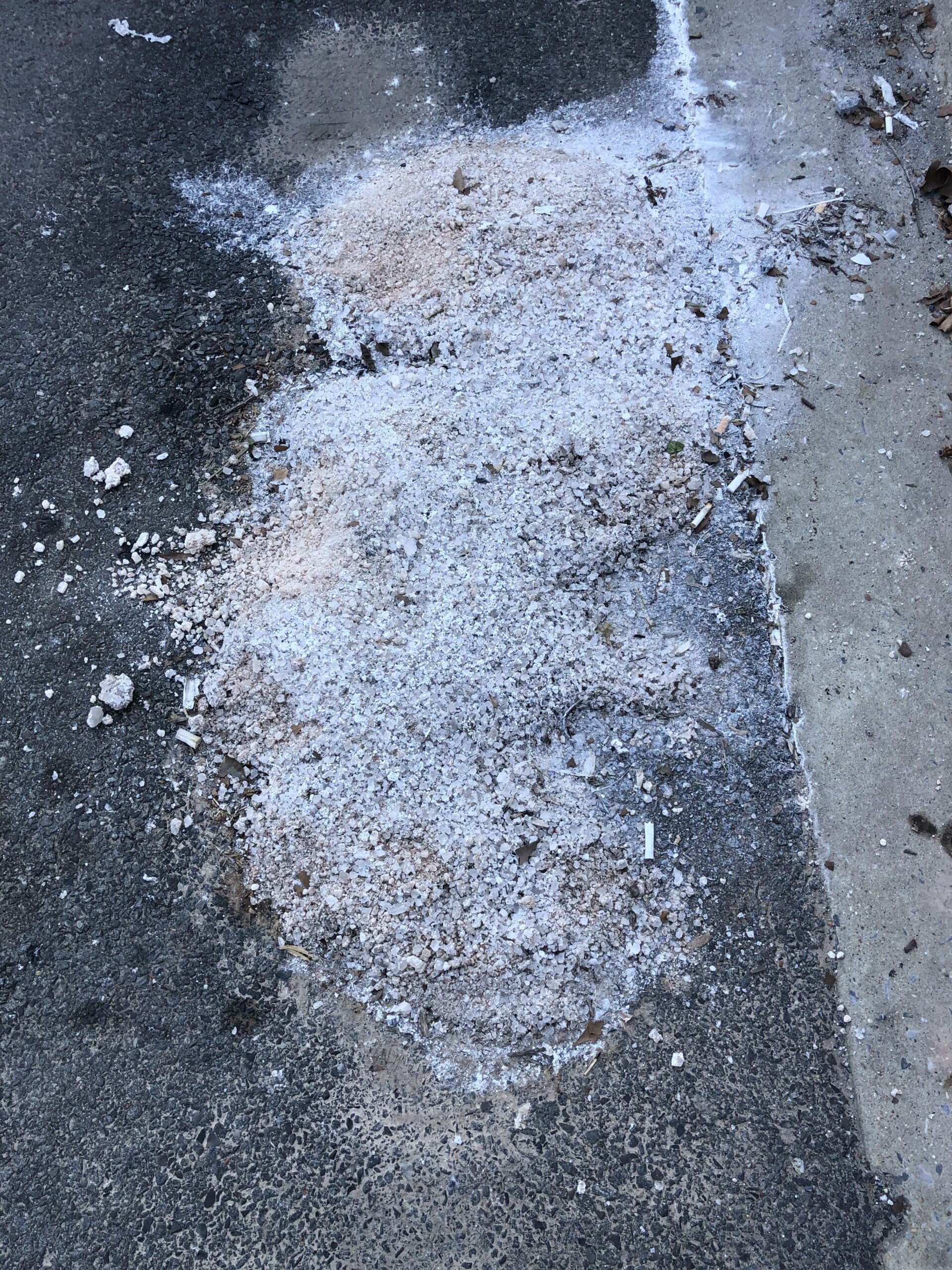
The road salt that makes your drive to work easier on snowy days may be damaging the water quality in local rivers and streams long after winter is over.
")
The road salt that makes your drive to work easier on snowy days may be damaging the water quality in local rivers and streams long after winter is over.
Daile Zhang serves on the World Meteorological Organization’s Committee on Weather and Climate Extremes.

(SACRAMENTO, CA — October 21, 2021) OpenET, a new online platform that uses satellites to estimate water consumed by crops and other plants, launched today, making critical data for water management widely available in 17 western states for the first time amid record drought.
The National Oceanic and Atmospheric Administration’s Climate Prediction Center (CPC) launched a new look and feel to some of their long-range U.S. temperature and precipitation forecast maps on September 15, 2021. As part of the National Weather Service’s suite of official forecast products, these maps are widely used by weather forecasters, media outlets and decision-makers whose industries rely on accurate weather information.

Ralph Ferraro, previously the Chief of the NOAA/NESDIS Center for Satellite Applications and Research, Satellite Climate Studies Branch (SCSB) and ESSIC Visiting Associate Research Scientist, has been named the Associate Director of Earth System Science Interdisciplinary Center (ESSIC) starting August 1, 2021.
To embrace the rapidly evolving field of AI/ML, ESSIC launches the ESSIC AI Forum and a one-day workshop: “On the Pathway to a Digital Earth”.
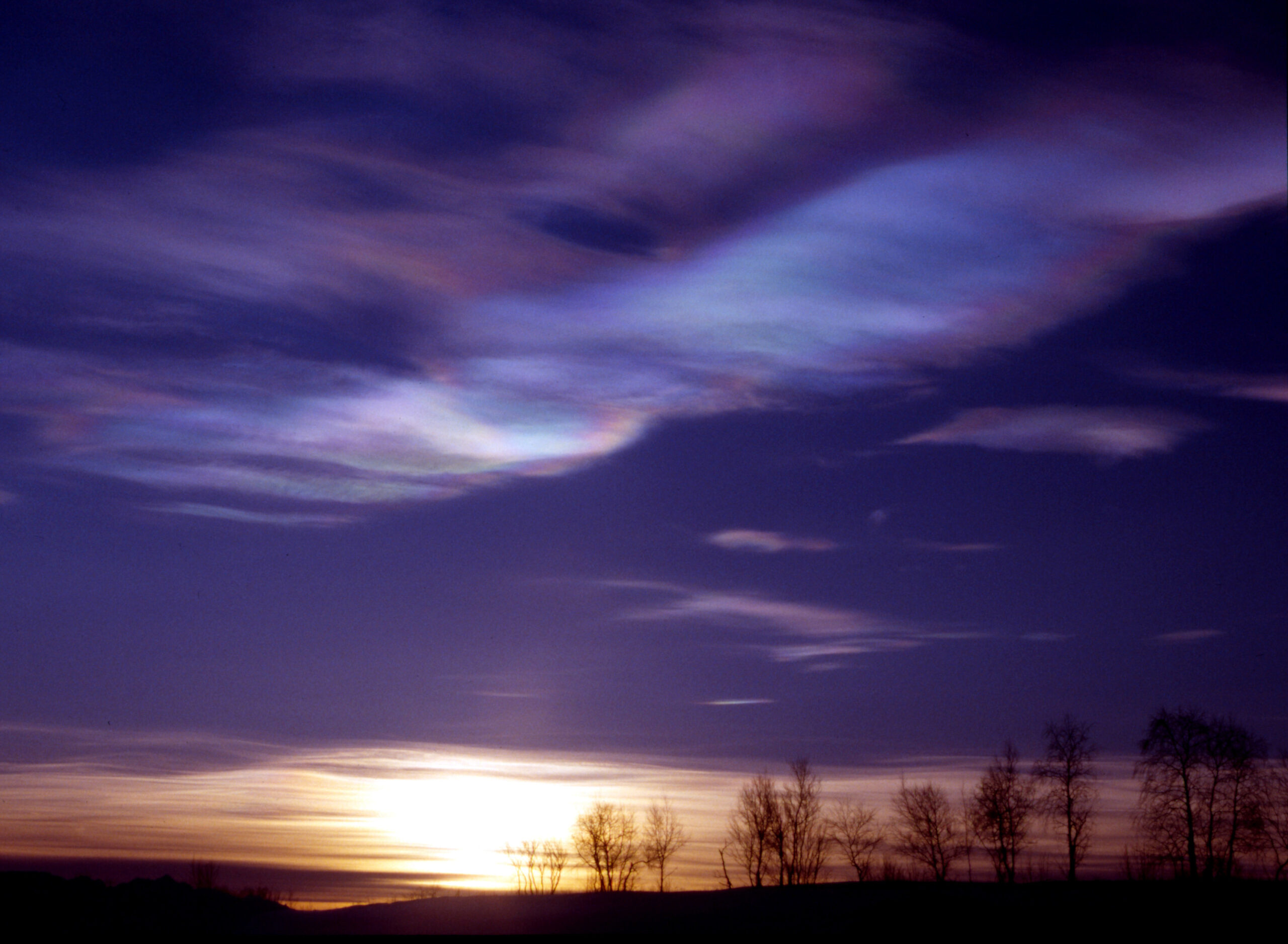
There is a race going on high in the atmosphere above the Arctic, and the ozone layer that protects Earth from damaging ultraviolet (UV) radiation will lose the race if greenhouse gas emissions aren’t reduced quickly enough.

University of Maryland researchers will lead a five-year, $10 million project funded by the U.S. Department of Agriculture’s National Institute of Food and Agriculture to help farmers in the Corn Belt navigate efficient water and nutrient use in order to increase crop production.

Ellen D. Williams, a Distinguished University Professor in the Department of Physics and the Institute for Physical Science and Technology at the University of Maryland, has been named director of the university’s Earth System Science Interdisciplinary Center (ESSIC) for a five-year term beginning July 1, 2020.
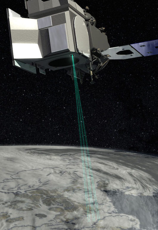
Using the most advanced Earth-observing laser instrument NASA has ever flown in space, scientists have made precise, detailed measurements of how the elevation of the Greenland and Antarctic ice sheets have changed over 16 years.