We see the signs everywhere—our planet’s future is in jeopardy. As global temperatures rise, greenhouse gases reach record levels and extreme weather events strike more frequently, we must ask the question: What will it take to solve the grand challenge of climate change?
Researchers in the University of Maryland’s College of Computer, Mathematical, and Natural Sciences (CMNS) are fiercely committed to the fight against global warming. These scientists are tapping into satellite data to predict crop-killing droughts before they happen, identifying trees that adapt to climate change instead of worsening it, and unraveling the complex relationship between airborne pollutants and weather conditions. Grand challenges demand bold ideas and real-world solutions. In CMNS, we lead Fearlessly Forward.
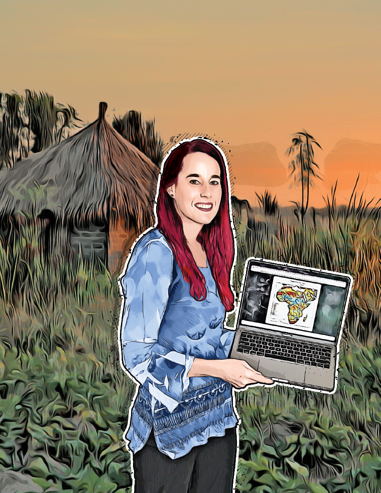
Kimberly Slinski can’t stop droughts from happening, but she can see them coming. Her warnings help entire regions of the world prepare for water shortages, crop failures and food insecurities that follow severe droughts. As an assistant research scientist in the Earth System Science Interdisciplinary Center, Slinski uses satellite data to monitor water availability in drought-prone regions around the world.
“If we can see a drought coming, then governments can move resources around to prepare for it and aid organizations can plan relief efforts in advance,” she said.
Droughts are hard to predict in places where water monitoring stations are few and far between like East Africa, Haiti, Central America and Afghanistan. These are also some of the most food-insecure regions on the planet, where crop failures and livestock deaths due to water shortages can spell hunger and starvation for the people living there. Unfortunately, as the climate changes, extreme droughts are becoming more frequent, especially in these parts of the world.
Slinski knows how hard it can be for resource managers on the ground to see a drought coming. In 2008, she worked as a hydrological engineer in Uganda, helping predict water shortages for the nongovernmental organization Action Against Hunger.
“We were on the ground trying to figure out ways to best monitor water availability in these areas where there isn’t a lot of monitoring data,” Slinski said. “We would look at the different watering holes that farmers bring their cattle to and try to determine which ones were the bellwethers. Which one or two ponds could we use to say, ‘If this one goes dry, the whole region will go dry’? And it made me think, there’s a lot of satellite data out there that could be used to monitor these ponds. We need to learn how to leverage that.”
That’s exactly what Slinski did. She went back to school and earned a Ph.D. in hydrology. Now she’s the technical lead for NASA’s Famine Early Warning Systems Network (FEWS NET) team. Slinski guides an international group of researchers at NASA in using satellite data to analyze and predict water conditions on the ground. She and her team look at soil moisture, streamflow, snowpack, snowmelt and a variety of other factors to create water availability forecast models.
The data they collect is fed into FEWS NET where experts in nutrition, economic markets and household food security combine the risk of drought with data on political stability, household conditions and other factors. FEWS NET reports help advise decision-makers as they work to prevent humanitarian crises in some of the most vulnerable places.
“There’s a substantial body of scientific evidence that says extreme events like drought are going to continue to happen more frequently,” Slinski said. “These early warning systems are a critical tool for disaster risk reduction, especially in the places that will be hardest hit by the effects of climate change.”
Good leaders know that a critical key to success is using the right tool for the job.
Written by Kimbra Cutlip
This article was published in the Summer 2022 issue of Odyssey magazine. To read other stories from that issue, please visit go.umd.edu/odyssey.
Also from this issue:

