Announcing ESSIC’s 1st AI/ML Workshop: On the Pathway to a Digital Earth
To embrace the rapidly evolving field of AI/ML, ESSIC launches the ESSIC AI Forum and a one-day workshop: “On the Pathway to a Digital Earth”.
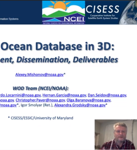
Alexey Mishonov, ESSIC/CISESS Associate Research Scientist, participated in the 2021 International Conference on Marine Data and Information Systems, held virtually this year between April 12-14. Mishonov presented a keynote talk titled, “World Ocean Database in 3D: Development, Dissemination, Deliverables”, which discussed the work completed alongside the World Ocean Database team, composed of ten other NCEI/NOAA scientists.
Ellen D. Williams, a Distinguished University Professor in the Department of Physics and the Institute for Physical Science and Technology at the University of Maryland, has been named director of the university’s Earth System Science Interdisciplinary Center (ESSIC) for a five-year term beginning July 1, 2020.
The American Meteorological Society Annual Meeting was held last week, January 12 to 16, in Boston. There were significant contributions by ESSIC/CISESS scientists, documented here.
Over 20 ESSIC/CISESS scientists and students attended this year’s AGU conference and many more contributed to talks and poster presentations. The talks included:
Youtong Zheng, ESSIC/CISESS Post-doctoral Associate, has been awarded the prestigious Yuxiang Early Career Award in recognition of his research and achievements. This award is administered by the Chinese-American Oceanic and Atmospheric Association (COAA) and the PIESAT Information Technology, Co., Ltd.
Contributions from Wilfrid Schroeder (CICS-MD) and Janice Coen (NCAR)
Complex interactions between lightning and wildfires were on full display during summer 2012. Record heat and drought gave rise to massive wildfires and an extremely active wildfire season in the western United States. Over 8 million acres burned nationwide during June (1.36 million), July (2.01 million), August (3.64 million), and September (1.08 million), which is the second most acres burned since 2000. Despite the
This article describes the development, evolution, and impact of the 2012 Derecho through the eyes of the many scientists, journalists, and weather forecasters that have since documented its significance. A simple image search for this event yields two common results. The first result is an animation created by NASA that uses visible satellite imagery to illustrate the entire event. The second most common result is a YouTube video that overlays severe thunderstorm warnings with radar imagery
The Washington D.C. Lightning Mapping Array (DCLMA) consists of 10 sensors that monitor very high frequency radio waves emitted by lightning. The DCLMA has been operational since 2007, providing detailed 3-D lightning observations that help inform decision makers regarding severe weather and lightning threats. The DCLMA clearly depicts the areal coverage of lightning in real time, and recent studies indicate that increasing lightning flash rates often precede severe winds, hail, and tornados.