Tag: Hydrology and Land Surface Processes

Simulated daily surface (0-10 cm) soil moisture at 00Z on 25 September 2014 over the Western Land Data Assimilation System (WLDAS) domain. The inset map highlights the 1 km grid spacing of WLDAS products, and the black line encompasses the California Region basin.

A High‐Resolution Land Data Assimilation System Optimized for the Western United States

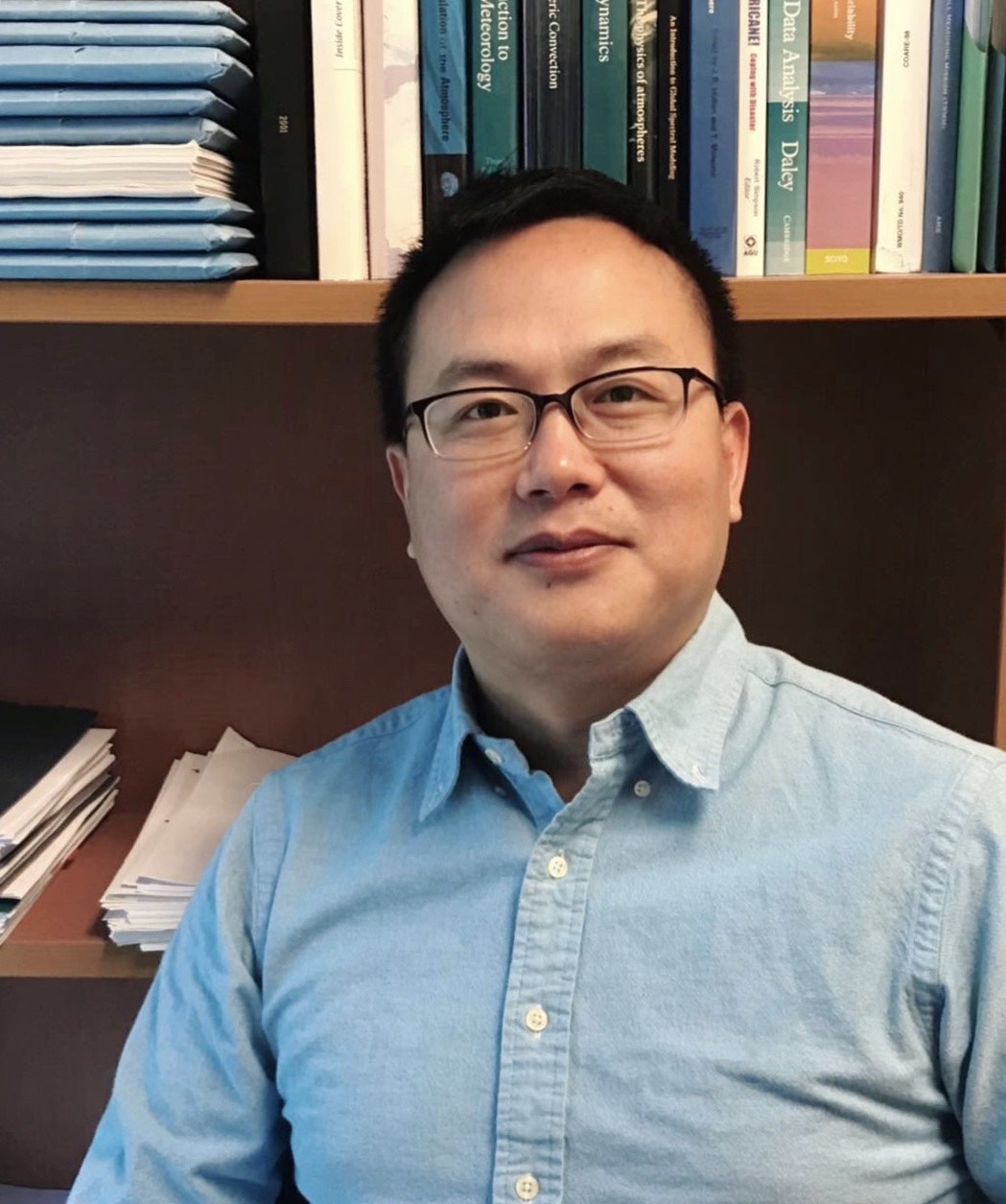
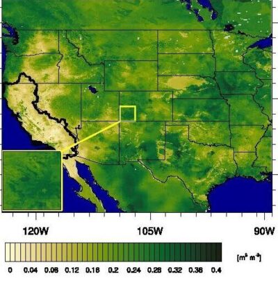
ESSIC/CISESS Assistant Research Scientist Jessica M. Erlingis is first author on a new paper out in Journal of the American Water Resources Association titled “A High‐Resolution Land Data Assimilation System Optimized for the Western United States”. Her co-authors include ESSIC/CISESS scientists Bailing Li and Sujay Kumar as well as researchers from NASA Goddard Space Flight Center, University of Saskatchewan, Jet Propulsion Laboratory, and the California State Water Resources Control Board.

Read More »
A snowy McKeldin Library with a sign that looks like a face mask that says "Terrapin Strong"

ESSIC Recognizes Distinguished Faculty and Staff

As a now traditional part of the ESSIC end-of-year Holiday Party, two annual peer awards were presented to honor the year’s Best Paper and the Employee of the Year. This year, Director Ellen Williams presented these awards to Toshi Matsui, Associate Research Scientist, as well as Donna Gray, Coordinator, and Luther Clark, IT Coordinator.

Read More »
A scenic view of the ocean and the beach

Farrell and Thomas Discuss the Hidden Talents of ICESat-2

A new NASA Goddard feature highlights how the Ice, Cloud, and Land Elevation Satellite 2 (ICESat-2), originally intended to precisely measure the height of the ice sheets at Earth’s poles, of sea ice floes above the ocean waters, and of forest canopies, has gone beyond its original purposes to map the Earth’s surface. In the article, ESSIC/CISESS scientists Sinéad Farrell and Nathan Thomas are quoted discussing these unintended benefits.

Read More »