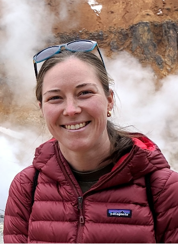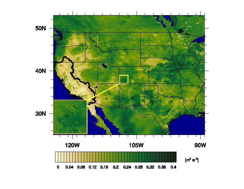
ESSIC/CISESS Assistant Research Scientists Jessica M. Erlingis and Bailing Li are authors on a new paper out in Journal of the American Water Resources Association titled “A High‐Resolution Land Data Assimilation System Optimized for the Western United States”. Her co-authors include researchers from NASA Goddard Space Flight Center, University of Saskatchewan, Jet Propulsion Laboratory, and the California State Water Resources Control Board.
The paper introduces The Western Land Data Assimilation System (WLDAS), a custom instance of the NASA Land Information System that combines land surface parameters, meteorological forcing data, and satellite products within a land surface model to produce daily estimates of the water and energy budget variables for the western United States. Designed with the goal of groundwater sustainability planning in California, the dataset has a 1‐km grid resolution and spans 1979–present which makes it suitable for water resources assessments.
Erlingis works in the Hydrological Sciences Laboratory at NASA Goddard Space Flight Center. Her research interests include precipitation estimation as well as numerical modeling of the land surface, atmosphere, and the interaction between them in order to improve the understanding of hydrometeorological extremes, such as floods and droughts.
Li works at the Hydrological Sciences Laboratory of NASA Goddard Space Flight Center. Her research interests include understanding spatial and temporal variability of soil moisture and groundwater using in situ, remotely sensed and modeling data and its role on water and energy balances at regional to global scales.
To view the article, click here: “A High‐Resolution Land Data Assimilation System Optimized for the Western United States”.

