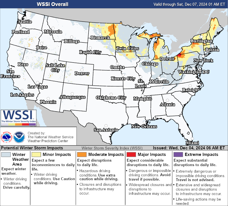
Meteorological Winter has gotten off to a chilly start across the eastern half of the nation, and the cold air was reinforced by a blash of arctic air on 4 & 5 December 2024. Bill Line’s Satellite Liaison Blog highlighted the blowing snow as a result of the gusty northerly winds across the northern Plains and Upper Midwest before the cold air pushed eastward. The strong cold front was forecast to arrive with strong winds and snow squalls across the Great Lakes and Northeast, causing hazardous travel. The NWS Weather Prediction Center (WPC) Winter Storm Severity Index (WSSI) issued at 1100 UTC 04 December 2024 highlighted Minor to Moderate Winter Storm Impacts from Minnesota to New England, with a small area of Major Impacts downstream of Lake Erie where lake-effect snow was also expected.
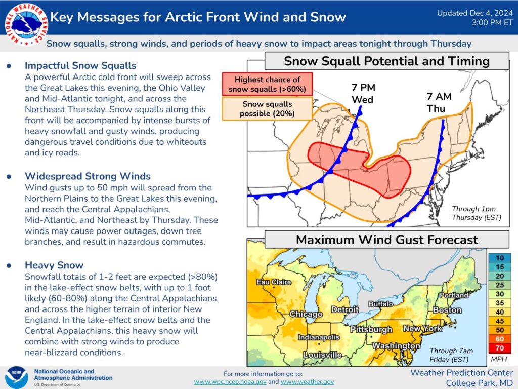
WPC issued Key Messages at 1800 UTC 04 December 2024, emphasizing the snow squall threat, especially from southern Wisconsin to western Pennsylvania. Strong wording was included in the Key Message for ‘dangerous travel conditions due to whiteouts and icy roads’.
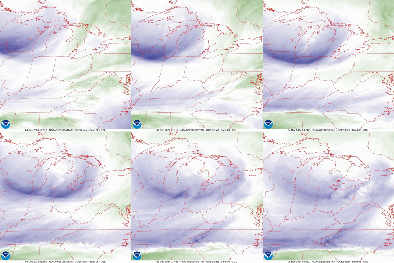
GOES-East Upper-Level Water Vapor (WV) 6.2 um Band 8 imagery clearly depicted the upper-level trough pushing across the Great Lakes from ~1900 UTC 04 December to ~0600 UTC 05 December 2024. The trough and associated cold front indeed caused snow squalls to develop, several of which were intense enough to lead to thundersnow. GOES-East GeoColor imagery overlaid with the GLM Flash Extent Density (FED) from ~1900 UTC 04 December to ~1300 UTC 05 December 2024 showed lightning, with higher amounts, first across Michigan, then southwestern Pennsylvania.
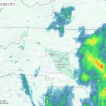
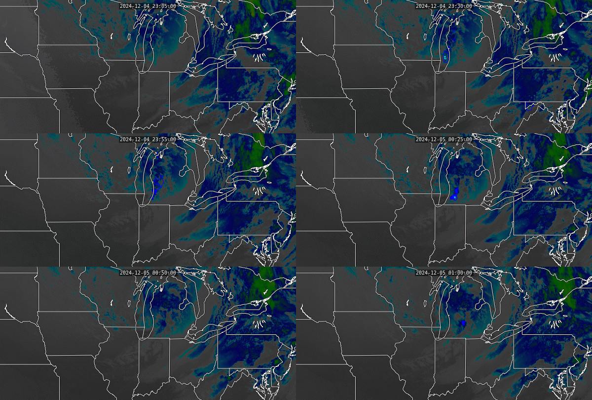
GOES-East LightningCast output overlaid on Band 13 Clean IR Longwave imagery and the GLM FED forecasted low probabilities (10%) that lightning would be observed by the GLM over the next hour as the squall line pushed into southern Michigan from ~2300 UTC 04 December to ~0100 UTC 05 December 2024. LightningCast is known to perform better in the warm season and during the day, as stated in the Quick Guide.
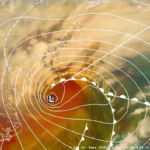
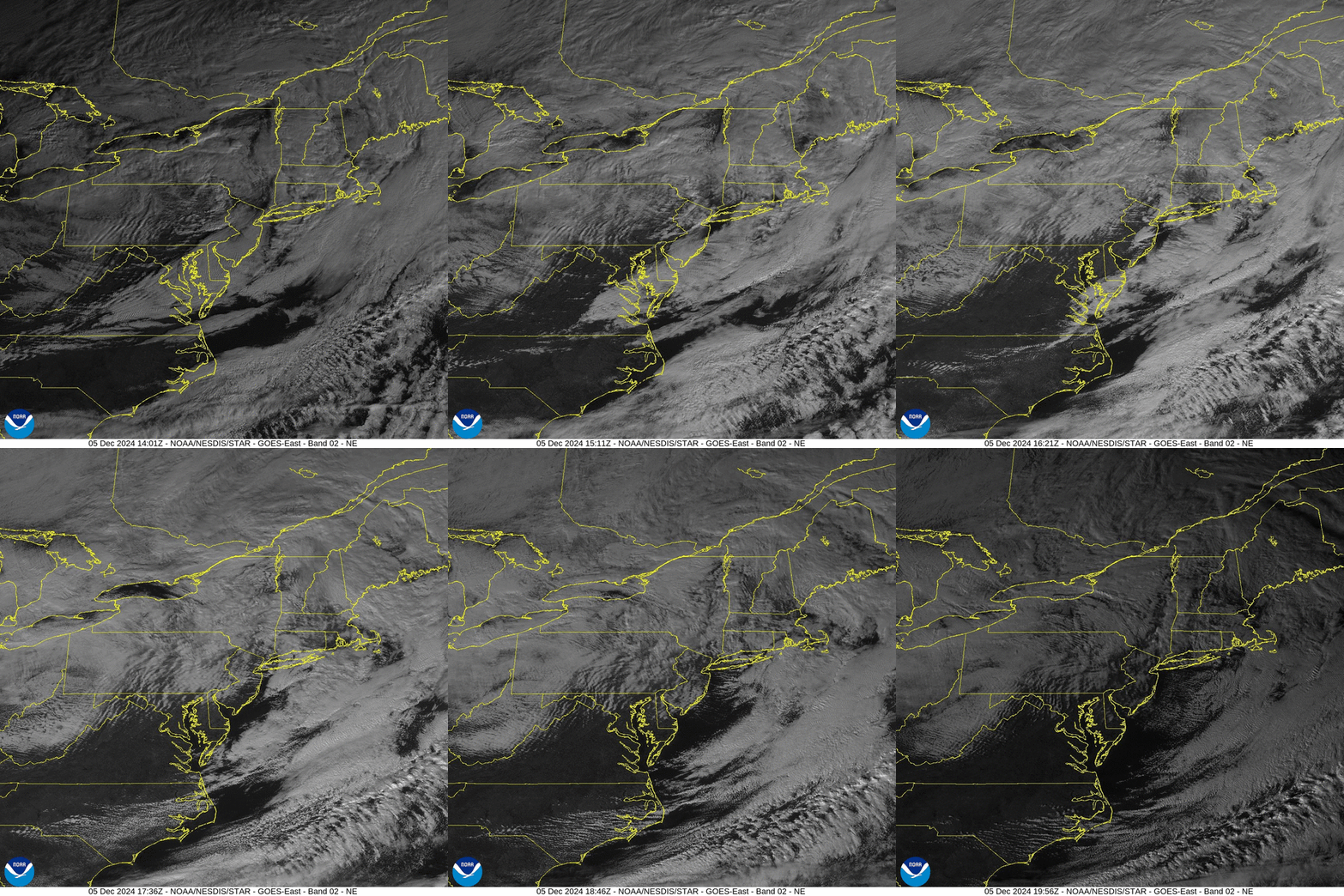
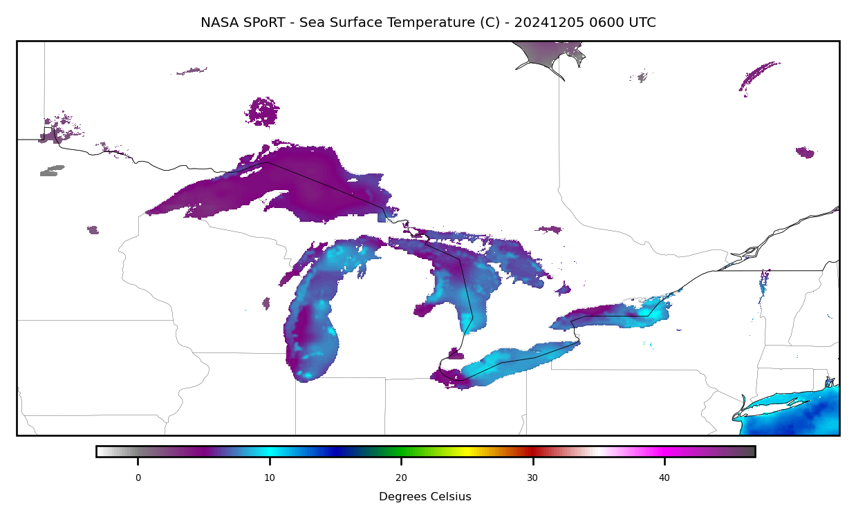
As the cold front pushed through the Northeast, a secondary area of low pressure developed along the New England coastline, enhancing snowfall across northern New England. GOES-East Visible Band 2 (0.64 um) imagery from ~1400 to ~2000 UTC 05 December 2024 showed the swirling area of low pressure as well as enhanced convection downstream of the eastern Great Lakes. According to the NASA SPoRT Sea Surface Temperature (SST) Composite, Great Lake water temperatures remain above freezing with temperatures up to 10 degrees Celsius (~50 degrees Fahrenheit) across Lakes Erie and Ontario. The warm water temperatures allowed cold air advection to pick up moisture, resulting in lake-effect snow. The NASA SPoRT SST Composite product utilizes a variety of satellite data as inputs, including VIIRS and NESDIS’ GOES/POES SST Composite that relies on GOES, Himawari, and Meteosat geostationary satellites in addition to polar-orbiting satellites like the Metop series.
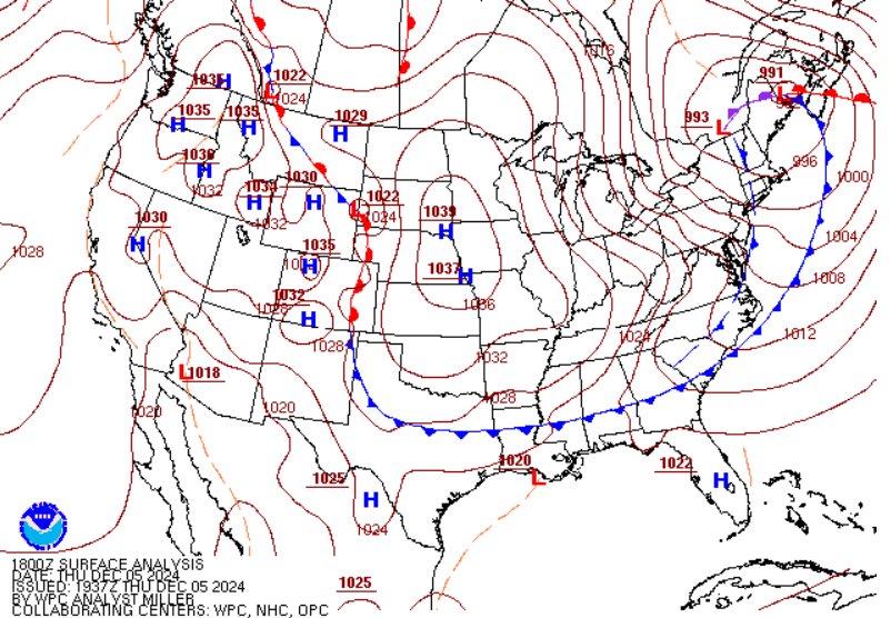
NWS WPC Surface Analysis at 1800 UTC 05 December 2024 had a double-barreled low across northern New England with a tight pressure gradient to the southwest, yielding strong northwest winds.
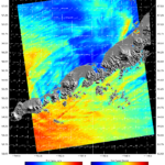
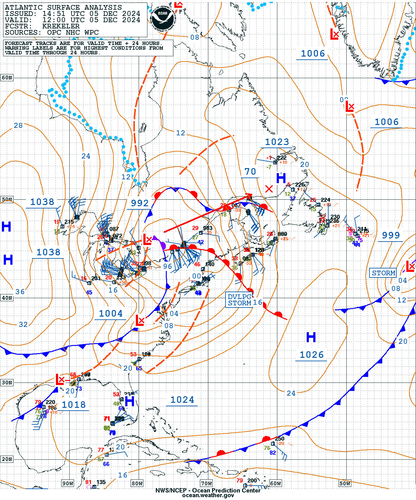
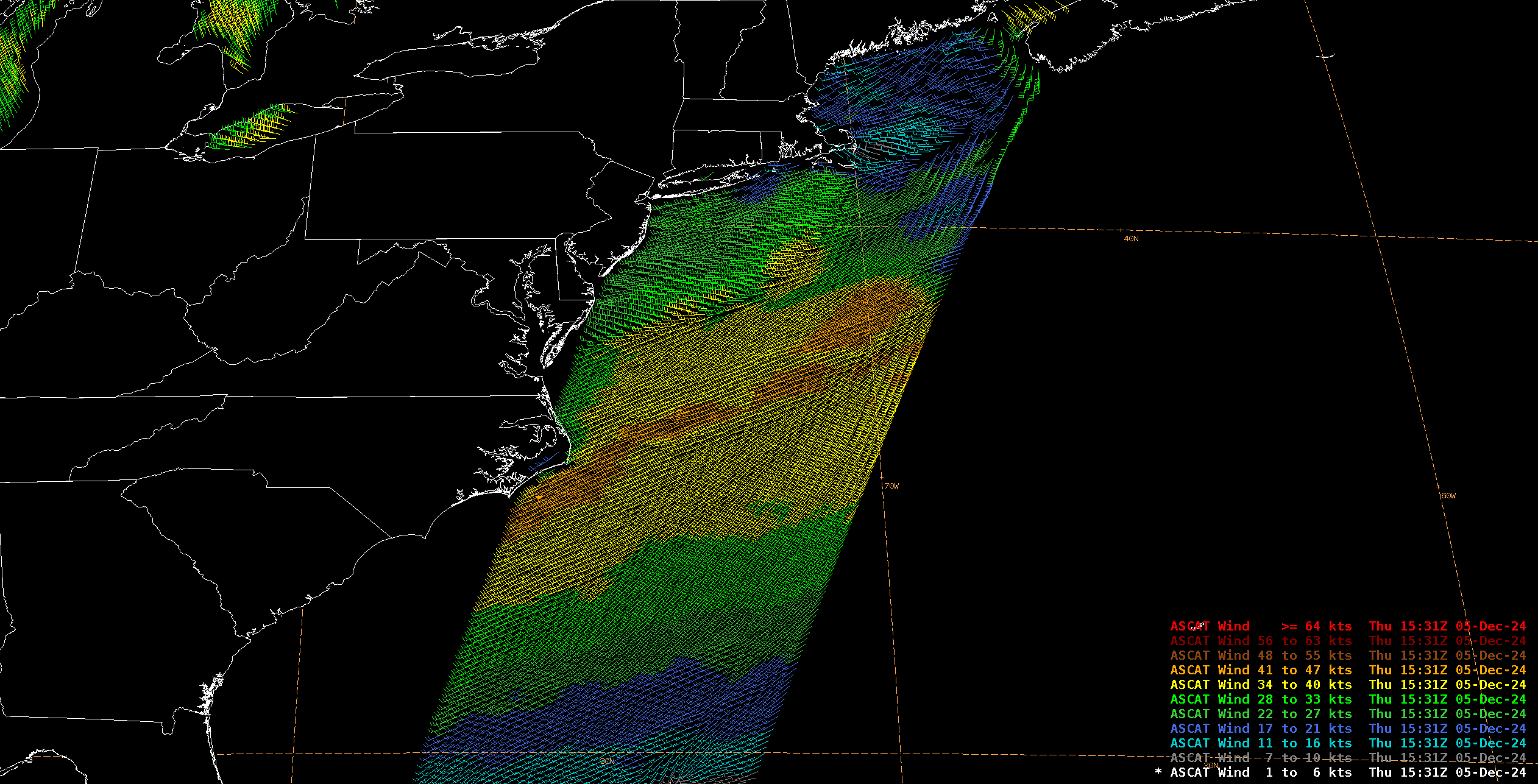
The gusty winds weren’t just limited to the Mid-Atlantic and Northeast, as the NWS Ocean Prediction Center (OPC) had a Gale Warning in effect off of the East Coast at 1200 UTC 05 December 2024, with storm-force winds expected to develop. A Metop-C ASCAT pass around ~1515 UTC 05 December 2024 was able to confirm gale-force winds above 40 kts., with enhancement along the warmer Gulf Stream waters with increased instability.
According to NWS WPC Storm Summary issued 1500 UTC 06 December 2024, hurricane-force wind gusts were observed in Michigan and North Carolina, while over a foot of snow fell in three states: Michigan, Pennsylvania, and New York.


