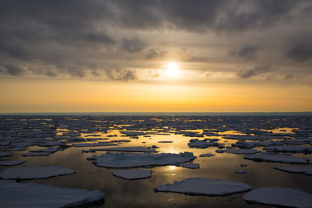
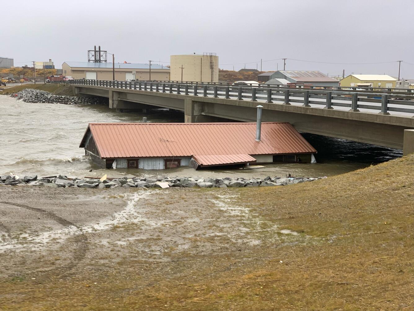
UMD researchers find rapidly declining sea ice in North Pacific Bering Sea, bringing intense storms to Alaskan coastline

As Maryland creeps towards winter weather, some residents mourn the loss of a reliable snow season. While many remember a time where the region was blanketed in snow by the holidays, we’re now lucky to get one or two days of significant snowfall. Meanwhile, halfway across the world, the Bering Sea faces a much more urgent climate shift. A new study by researchers with the Cooperative Institute for Satellite Earth System Studies (CISESS) at the Earth System Science Interdisciplinary Center has identified this northern Pacific region as a climate change hotspot, with environmental changes that threaten the stability of vulnerable coastal communities and ecosystems.
The Bering Sea is a large, shallow body of water stretching from the coast of southwest Alaska to the eastern edge of Siberia. Winters in the Bering Sea are harsh, with intense winds, large waves, and sea ice formation. Because of its remote location, the Bering Sea often receives limited attention.
“In our new study we find that the sea ice, winds and wave heights in the Bering Sea have changed considerably in the last decade,” said Reint Fischer, graduate student at UMD’s Department of Atmospheric Sciences (AOSC) and first author of the paper. Fischer used satellite remote sensing to analyze surface ocean conditions in the Bering Sea alongside his co-authors, AOSC Associate Professor Sinead Farrell, Earth System Science Interdisciplinary Center (ESSIC) Senior Faculty Specialist Kyle Duncan, and NOAA collaborator John Kuhn.
This recent shift in the Bering Sea is especially surprising because the region has previously been remarkably stable. In the 30 years between 1980 and 2010, the Bering Sea’s sea ice extent – areas with at least 15% ice concentration – remained steady, even when other Arctic regions were already experiencing significant sea ice declines.
However, in nine of the last ten winters, sea ice extent was lower than average. In 2018 and 2019, the team found sea ice extent to be at record lows, 53% and 40% below the 1981-2010 average respectively. During this period of sea ice loss, wind speeds and wave heights increased.
“In the Bering Sea, sea ice acts both to dampen waves as they hit the edge of the ice cover, and also to limit the transfer of energy from winds into the ocean from which waves are generated. In turn, winds and waves can break up sea ice into smaller pieces at the ice edge,” said Fischer.
With less sea ice, the region’s storms are becoming more severe. Winters in the Bering Sea between 2018 and 2023 were stormier than average. The top 1% of the largest wave heights is increasing by 1.8 feet per decade, from ~23 ft in 2003 to ~26 ft in 2023. This leaves coastal communities vulnerable to more disastrous storms as sea ice’s protective barrier is diminished.
“If sea ice continues to decline here, then we would expect that the extreme waves we have already observed with our satellite data would have a bigger impact on coastal communities,” said Sinead Farrell, who also serves as Fischer’s PhD advisor, “Our results also show that wind speeds and wave heights are increasing overall, making the problem even worse.”
In September 2022, Typhoon Merbok impacted over 1,300 miles of Alaskan coastline during a period of no sea ice. This brought 70 mph winds, extreme storm surge, and 50 ft high waves to the region, destroying homes, food supplies, and infrastructure. Since many of these coastal communities are isolated and without connection to national road networks, rescue services coordinated evacuations by sea or air, a slow and costly process.

Sea ice is expected to continue declining as our Earth warms. By the 2040s, sea ice extent in the Bering Sea is expected to regularly surpass the 2018 record low. The Bering Sea ice season is also expected to decrease by up to a full day per year through 2044. This transition will bring unprecedented effects to this region and the communities that depend on it.
Forecasting is key to predicting risks to Alaskan coastal communities and maintaining safety at sea. Currently, there are six active satellite radar altimeters that have strongly improved scientists’ ability to monitor storms in the region. Maintaining these devices and their capabilities is vital to continue learning about changes in the Bering Sea.
Next, the team hopes to expand upon this research by studying regional climate models and integrating field data to verify satellite observations. They also hope to combine their studies’ conclusions with historical records of sea ice by Alaska’s indigenous communities.
“The decline in sea ice is directly affecting the coastal communities of Alaska and [indigenous communities] have personally witnessed the changes that have happened in the region,” said Duncan.
But for now, the researchers emphasize the importance of maintaining the current satellite altimeter missions in the region.
“The six currently active radar altimeters have strongly improved our ability to monitor storms in the region. It takes a lot of effort and many years of planning to launch these satellites, which is why it is amazing that we have all these observations now,” said Fischer, “But we cannot afford to stop their development.”


