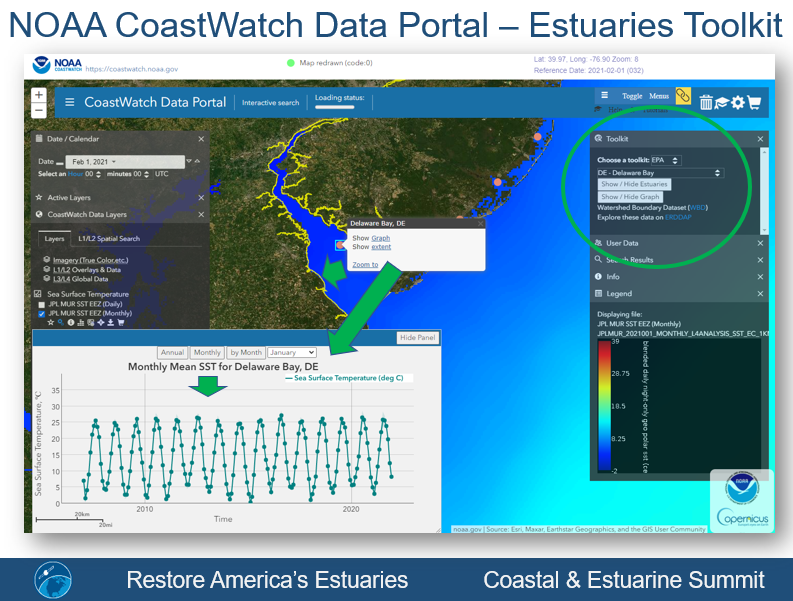
ESSIC/CISESS Scientist Ron Vogel convened with environmental stakeholders at the Restore America’s Estuaries Coastal and Estuarine Summit, which took place from 7–9 October 2024 in Arlington, VA. Vogel presented at the conference on collaborative work between UMD, NOAA, and the Environmental Protection Agency applying long-term satellite temperature data to 84 estuaries across the United States. The temperature indicators, available through NOAA CoastWatch, provide estuary managers with critical information for monitoring change and making decisions in coastal environments. Estuary managers point out the satellite data are crucial for estuaries where in-situ measurements are lacking. They also shared feedback on satellite temperature product characteristics most important to their needs. Vogel’s presentation was titled “Nationwide estuarine water temperature monitoring by satellite.” The work demonstrates how environmental satellite data meets societal decision-making needs.
.
In his research, Vogel applies earth-observation satellite data to environmental decision-making. He currently develops decision-support tools for water quality, fisheries and climate change in coastal areas. Other interests include ecological modeling with satellite data and vegetation and land surface monitoring by satellite. He has expertise in both visible and infrared satellite remote sensing.

