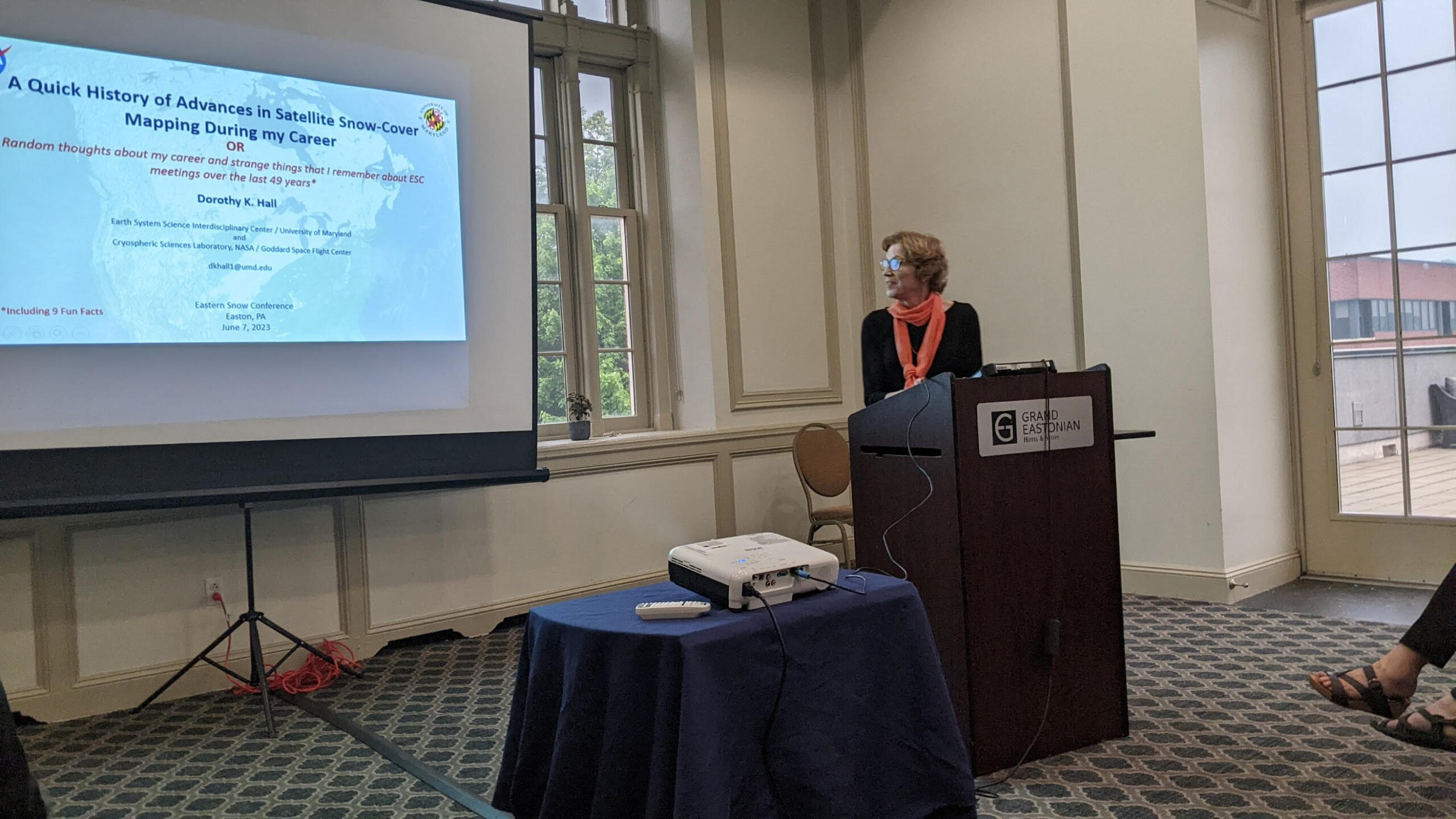
Providing Observations When Radars Aren’t Available
AMSR2 Precipitation Product During Mawar’s Landfall in Guam

AMSR2 Precipitation Product During Mawar’s Landfall in Guam

Korak Saha and Yongsheng Zhang are co-authors of a new paper in Remote Sensing titled “Oceanic Responses to the Winter Storm Outbreak of February 2021 in the Gulf of Mexico from In Situ and Satellite Observations”.

Isaac Moradi is the co-author of a paper entitled “The Community Radiative Transfer Model (CRTM): Community-Focused Collaborative Model Development Accelerating Research to Operations” published in Bulletin of the American Meteorological Society.

Earlier this month, Earth Systems Science Interdisciplinary Center (ESSIC) held a virtual workshop on Python hosted by Rebekah Esmaili from Science and Technology Corp (STC).

Jifu Yin, Ralph Ferraro, and Jicheng Liu are authors on a new paper in Journal of Hydrology
titled “Assimilation of Blended Satellite Soil Moisture Data Products to Further Improve Noah-
MP Model Skills”.

Satellite observations provide the only means for snowfall detection and snowfall intensity estimation on a global scale.

ESSIC/CISESS Scientist Daile Zhang has published a new book titled Flashes of Brilliance: The Science and Wonder of Arizona Lightning with Springer.

A new paper in Nature Geoscience written by an international team of scientists led by Dr. Luke Western of the National Oceanic and Atmospheric Administration (NOAA) shows that atmospheric abundances and emissions of five chlorofluorocarbons (CFCs) increased between 2010 and 2020, despite the 2010 Montreal Protocol that banned CFC production for dispersive use.

ESSIC Associate Research Scientist Qingyuan Zhang recently used VIIRS daily 375m flood extent products on 3/8/2023, 3/11/2023, 3/13/2023 and 3/15/2023 to monitor flooding in California.

Last week, NOAA NESDIS held a two-day virtual workshop on “Precipitation Estimation from LEO Satellites: Retrieval and Applications”. The workshop was organized by CISESS Consortium Scientist Kuolin Hsu at University of California, Irvine through a task funded by NESDIS’ Joint Polar Satellite System (JPSS) Program Office. The primary goal of the workshop was to determine future satellite observation requirements for global precipitation. The workshop had nearly 100 participants for each of the four sessions that spanned two days.