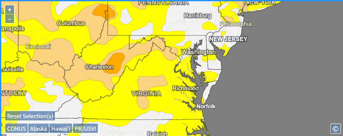
A pesky coastal low brought much-needed rainfall to the Mid-Atlantic last week, but not without also lashing the area beaches with intense winds and surf. The NWS Weather Prediction Center (WPC) Day 2 Excessive Rainfall Outlook (ERO) forecasted a Slight Risk – or at least a 15 percent risk of rainfall exceeding flash flood guidance within 25 miles of a point – across southeastern Virginia and northeastern North Carolina for the 24-hour period ending on 1200 UTC 17 September 2025. Much of the Mid-Atlantic had been experiencing Abnormally Dry to Moderate Drought conditions, limiting the flash flooding potential.

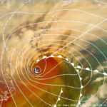
GOES-East Full Disk Air Mass RGB imagery from ~1200 UTC 15 September to ~1800 UTC 16 September 2025 showed the low pressure slowly meandering off the North Carolina Coast while firing off bursts of convection. Throughout the system’s evolution, signs of upper-level dry air and stratospheric intrusions of high potential vorticity (PV) air can be identified by the orange-red colors in the RGB.
Figure 3: GOES-East Air Mass RGB imagery from 1200 UTC 15 September to 1800 UTC 16 September 2025. From CIRA Slider
The upper-level dry air and the position of the extratropical cyclone right over the Gulf Stream may have contributed to the ample amounts of lightning seen on the northwest side of the circulation, especially after ~0500 UTC 16 September 2025. There are a few instances where the GLM scale is maxxed out, recording in excess of 255 flashes in 5 minutes!

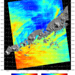
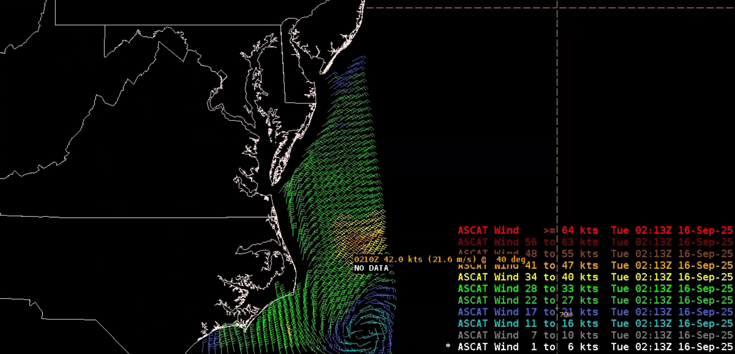
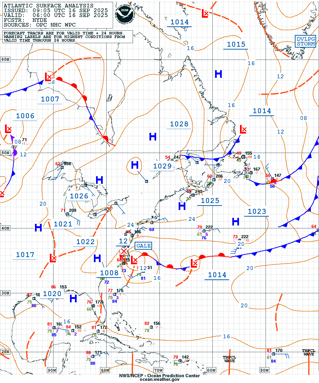
Metop-B/ASCAT at 0210 UTC 16 September 2025 observed gale-force winds in excess of 40 knots just prior to the intense convective burst. The NWS Ocean Prediction Center (OPC) Atlantic Surface Analysis at 0600 UTC included a Gale Warning with the 1008 mb low.
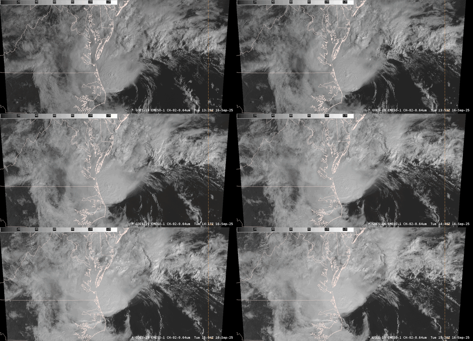
In the 1-minute GOES-East mesosector visible imagery from ~1330 UTC to ~1530 UTC 16 September 2025, bubbling rounds of convection can be seen rotating ashore across the Delmarva Peninsula as the convective core just to the northwest of the center of circulation inched towards Southeast Virginia. A significant amount of texture is present in Visible Band 02, thanks to its high, 500-m spatial resolution.
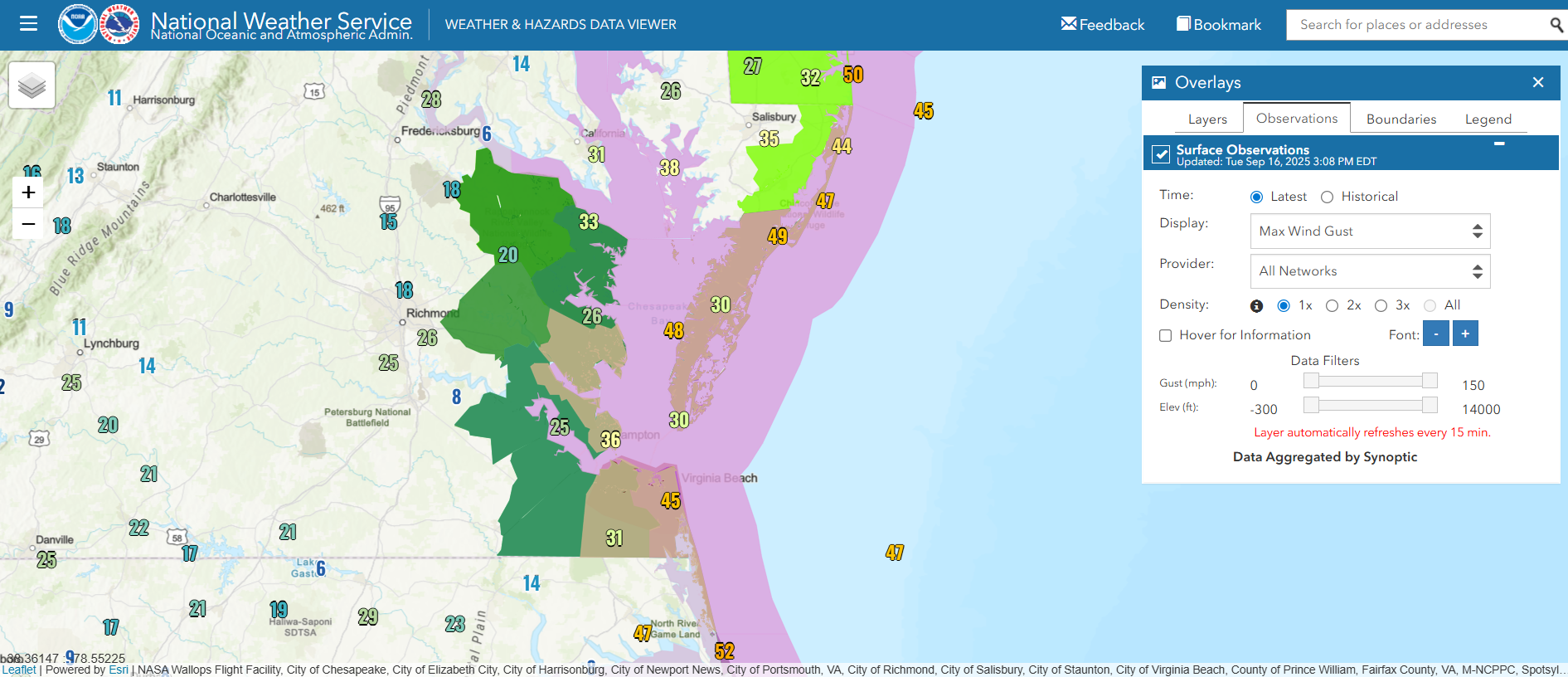
Wind Advisories had been posted by offices like WFO Wakefield, VA for wind gusts in excess of 45 mph along the coast on 16 September 2025 as the system pushed ashore. NWS observations through ~1700 UTC 16 September 2025 showed wind gusts of ~45 to 50 mph from North Carolina’s Outer Banks to Southern Delaware.
Even though the system pushed ashore by early 17 September 2025, larger waves were still present near the Mid-Atlantic Coast, with a Sentinel-6A pass observing waves in excess of 9 feet. In AWIPS, it’s possible to filter altimeter observations by satellite, making it easier to identify if there could be a satellite or data feed outage. Please reach out if interested in updated display configurations.

Through the morning of 17 September 2025, beneficial rains fell over a large swath of the Mid-Atlantic, including in the Baltimore-Washington County Warning Area (CWA), where much of the region picked up 1-2″ of rain.


