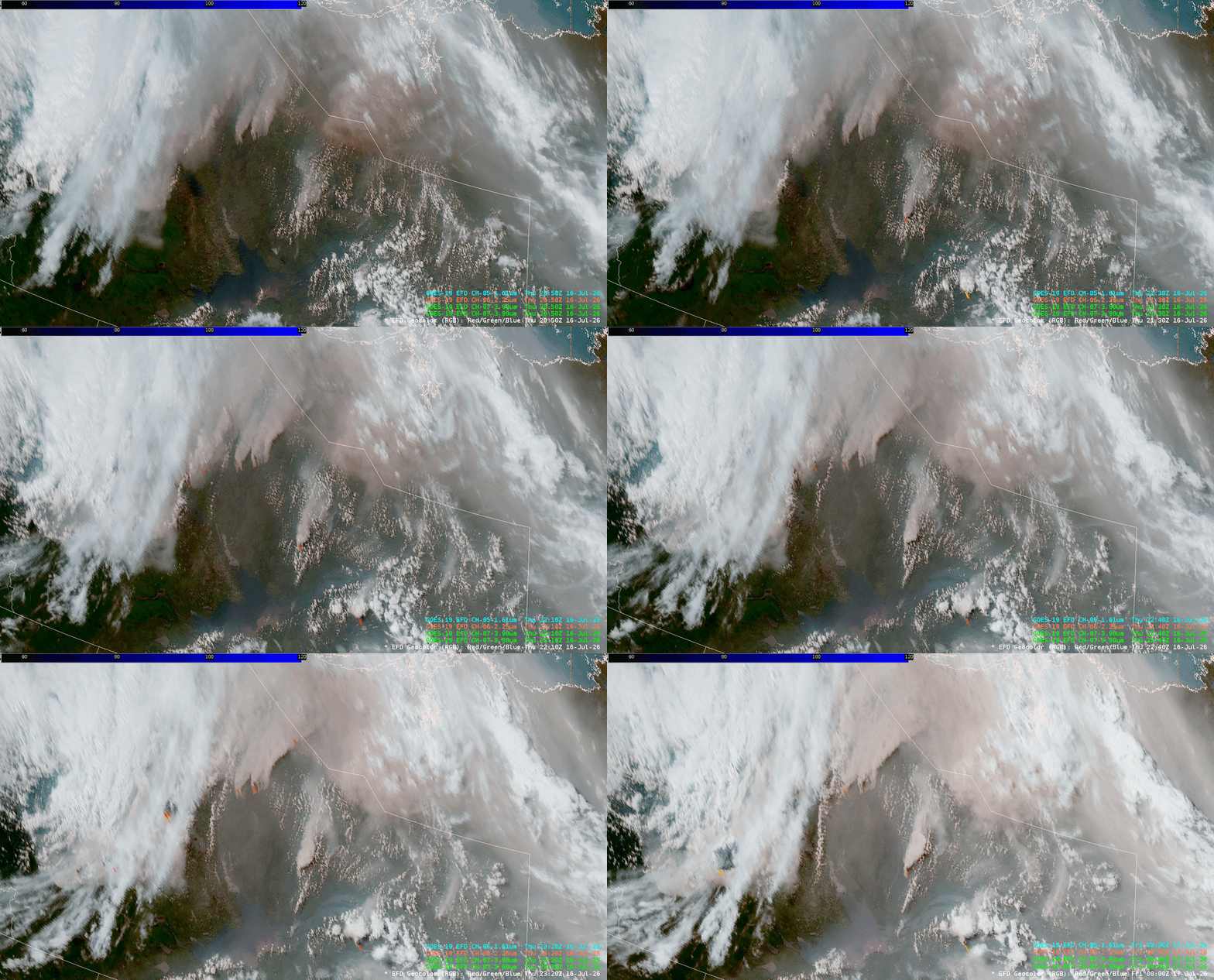
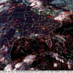
Wildfire smoke blanketed the Central and Eastern U.S. last week, leading to widespread Air Quality Alerts and reduced visibility. GOES-East GeoFire imagery tracked several wildfires in Alberta, Canada, that were responsible for producing widespread smoke. GeoFire imagery overlays Geocolor with shortwave and near infrared bands to track smoke and fire hotspots (Band 7 – 3.9 um). A GeoFire procedure can be produced in AWIPS.
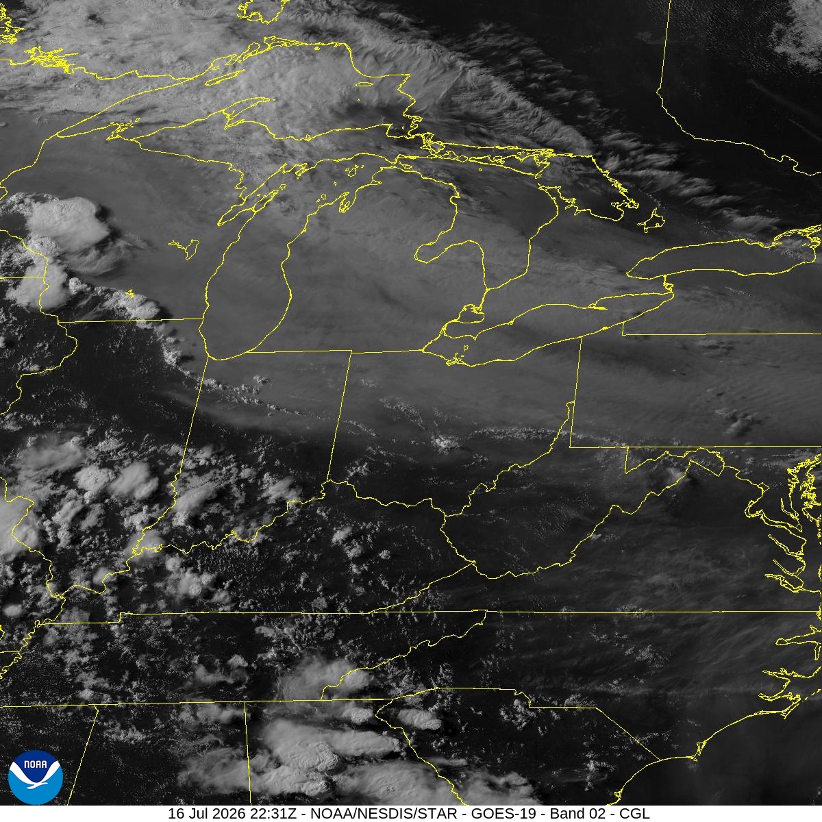
The smoke was transported southward into the U.S., not only impacting the air quality, but also influencing the weather. Smoke, filtering out sunlight, can keep temperatures cooler than surrounding areas with clear skies. This creates a differential heating boundary, which can cause convection to form. GOES-East Visible imagery captured this scenario in the late afternoon of 16 July 2026, with storms firing in the Midwest along the boundary of clear skies and smoke (milky white background color).
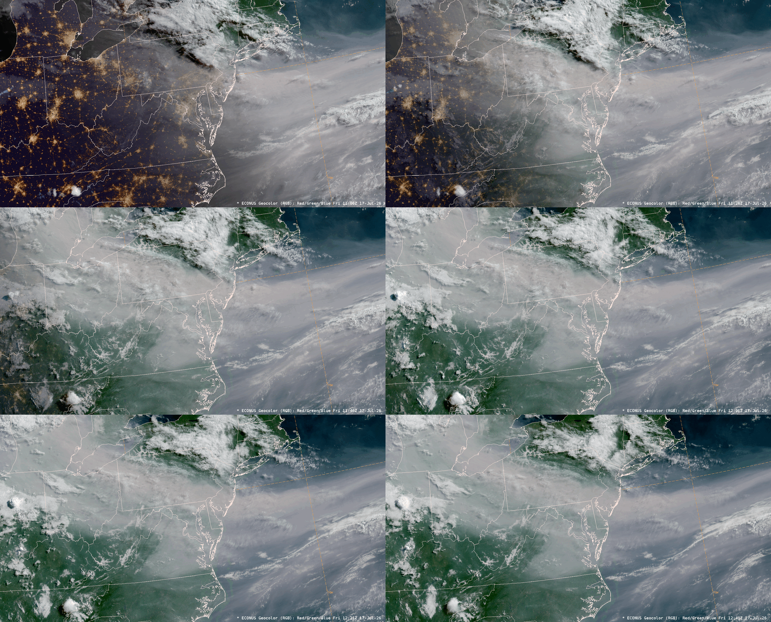
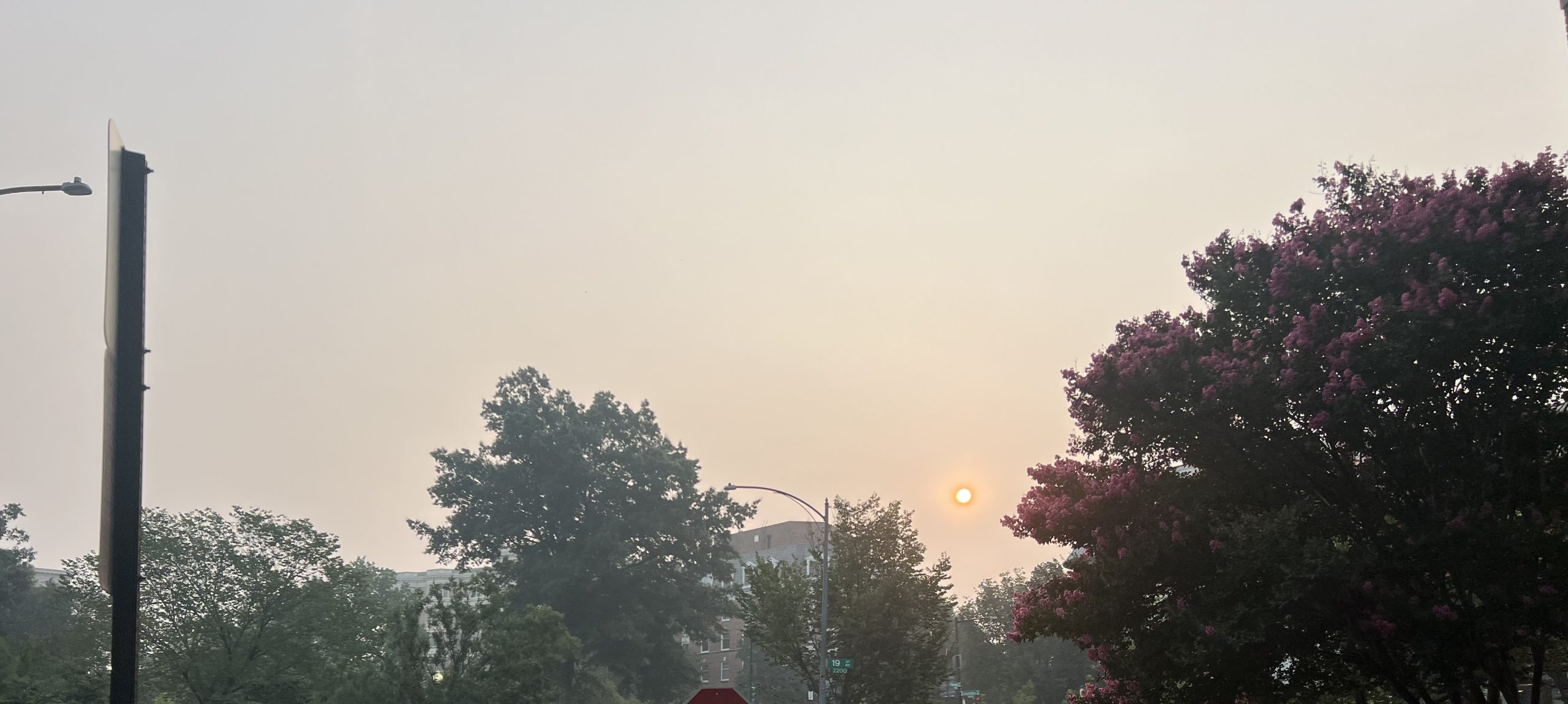
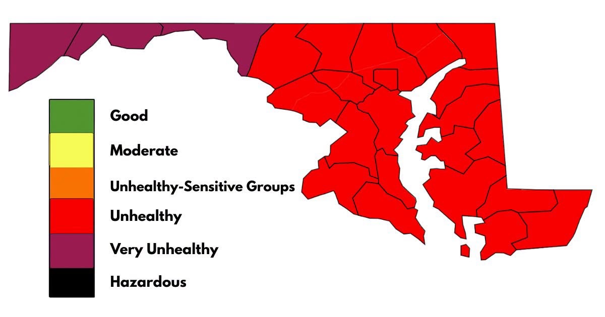
As the sun rose across the East on 17 July 2026, GOES-East Geocolor imagery showed smoke being transported from the Lower Great Lakes to the Mid Atlantic Coast, blanketing cities such as Detroit, Cleveland, Pittsburgh, and Washington, D.C. Ground-truth observations verified the thick smoke blocking out the view of the sun in the nation’s capital. Several states like Maryland issued Code Red and Code Purple alerts for Unhealthy to Very Unhealthy Air Quality.
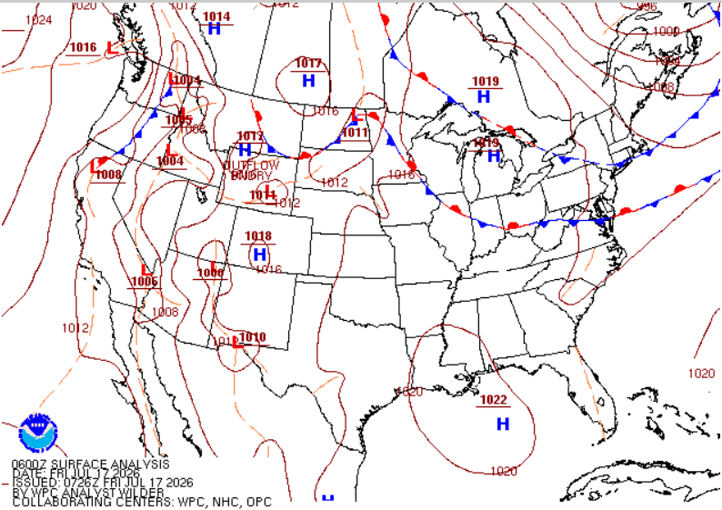
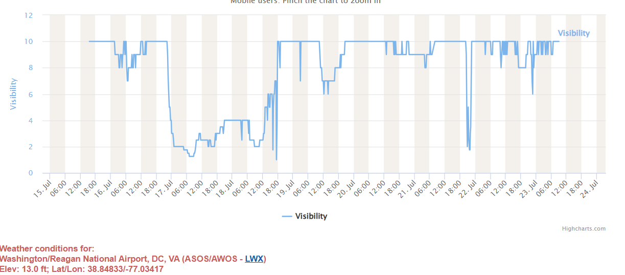
KDCA in Arlington, VA, began to record smoke at 0345 UTC 17 July 2026, following the passage of a cold front that ushered in smoke from the north. The airport recorded smoke until 2130 UTC 18 July 2026, or for ~42 hours. During those 42 hours, visibility was largely steady around ~2-3 miles.