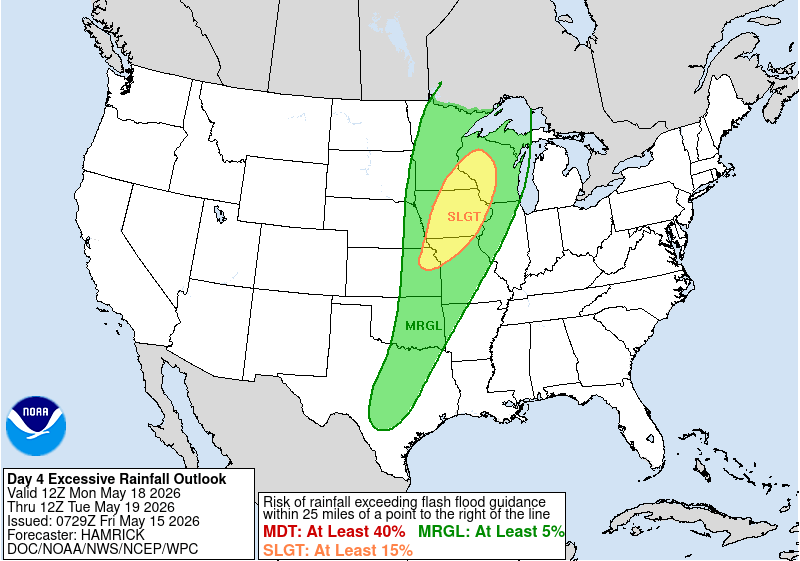
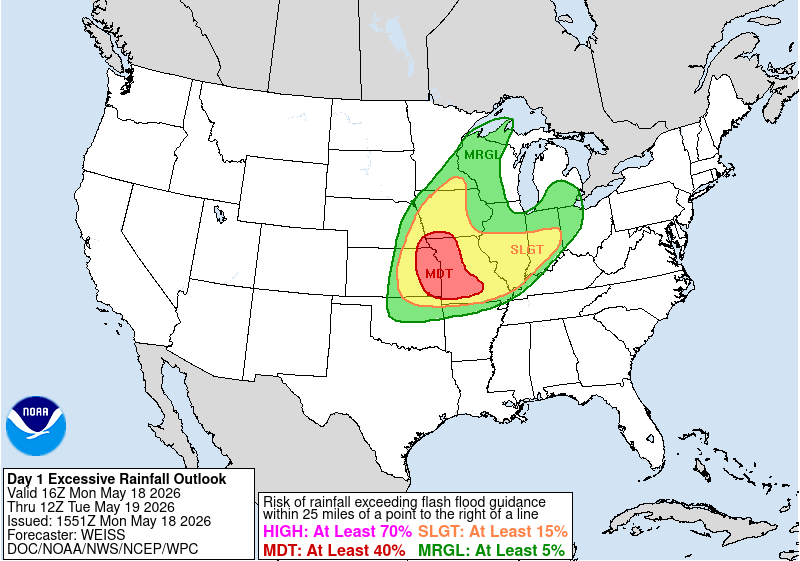
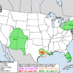
While drought conditions have expanded across much of the U.S., the past two weeks have brought a return of heavy rainfall and widespread wet weather across the eastern half of the nation. In parts of the Midwest, too much rain fell too fast, resulting in flash flooding. The NWS Weather Prediction Center (WPC) issued a Slight Risk for excessive rainfall in its Day 4 Excessive Rainfall Outlook (ERO), including Eastern KS and northern MO, up through the Upper Mississippi Valley. By Day 1, eastern KS and western MO were upgraded to a Moderate Risk ERO, including the Kansas City metro area. This was only the third Moderate Risk ERO issued in 2026.
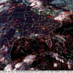
A dry line was easily identifiable in GOES-East CONUS Split Window Difference (SWD) imagery, firing off convection in KS and areas further south into OK and TX. The following AWIPS view utilizes a modified colorbar (instead of the default), overlaid with visible imagery, closely mirroring modifications presented in a previous NWS Satellite Book Club. Low level moisture is present ahead of the dry line (green colors) with much drier (brown colors) air behind.
Figure 3: GOES-East CONUS SWD output overlaid with visible band 02 imagery from ~1615 to ~2230 UTC 18 May 2026. This video was created from AWIPS, and display files can be shared upon request.
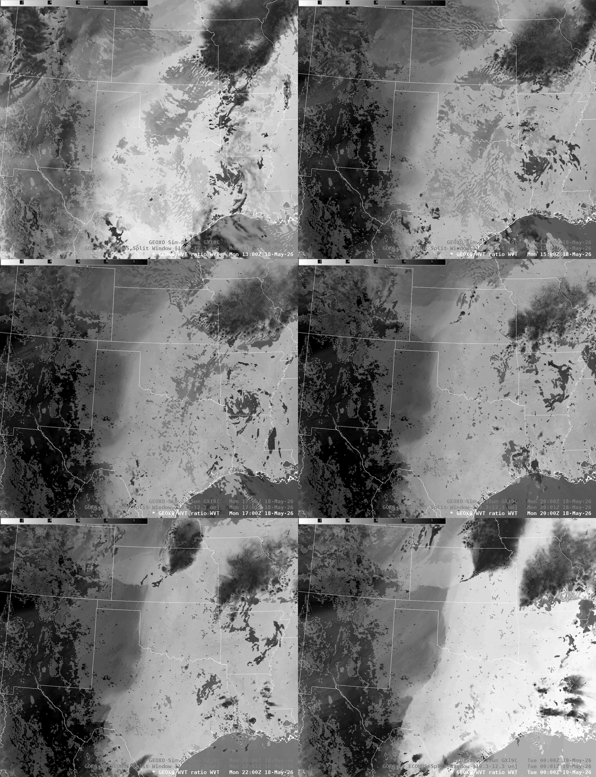
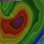
CIRA is also producing synthetic GeoXO Imager (GXI) 0.91 um band and 5.15 band imagery from hourly NSSL WRF model output. The 0.91 um band observes total precipitable water (TPW), much of which is concentrated near the surface. A ratio of reflectance between the 0.91 um and 0.86 um bands is calculated to create a Water Vapor Transmittance (WVT) product. In the inverted WVT output, which already exists for Meteosat Third Generation, moist areas appear brighter. Bill Line from NESDIS/STAR was able to configure synthetic GeoXO inverted WVT output in AWIPS for this event.
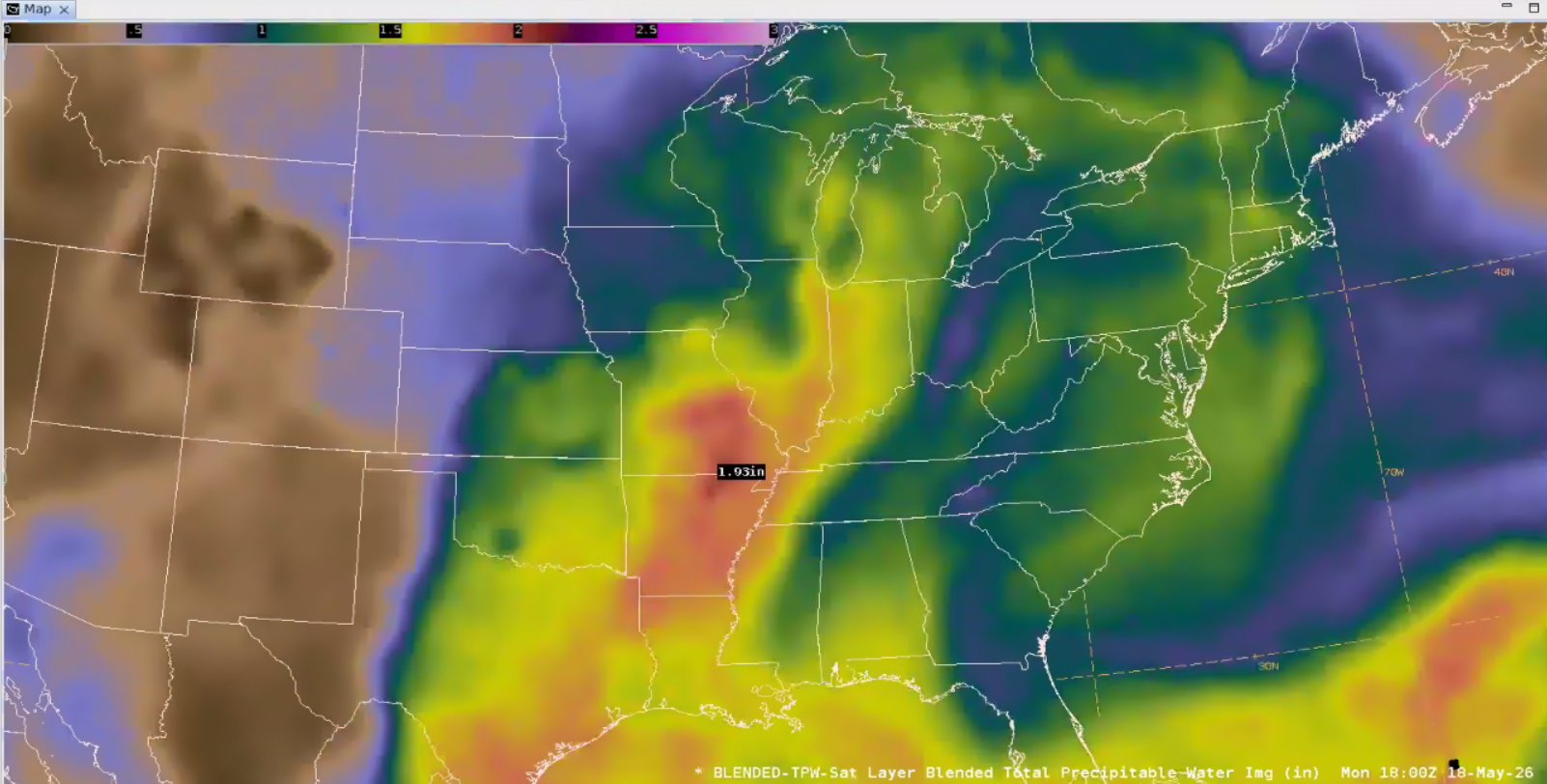
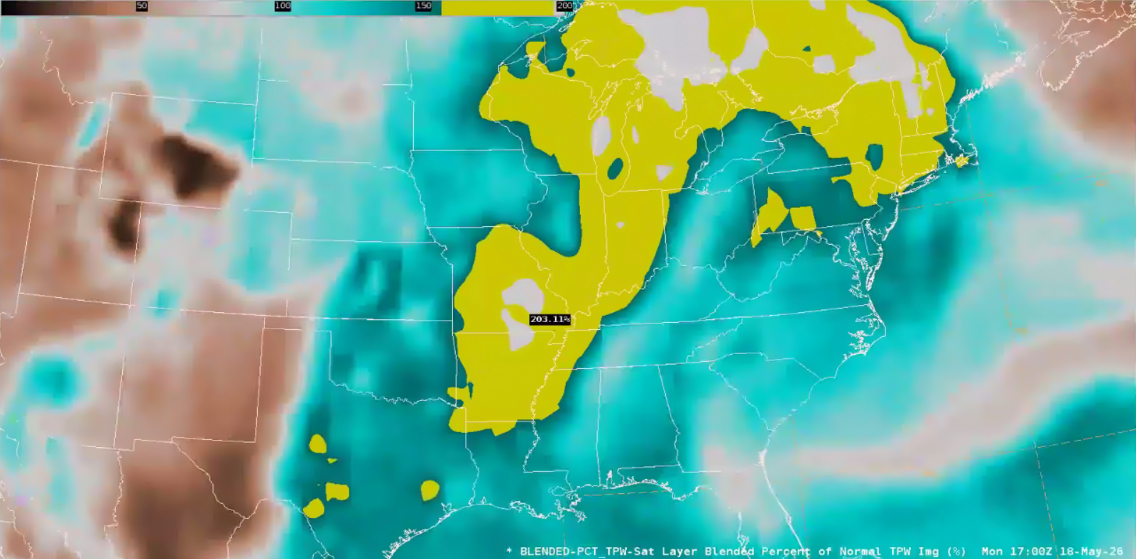
Back in MO where the flash flood threat was higher, the NESDIS Blended TPW (bTPW) product showed that the environment had plenty of moisture to support torrential rainfall, with TPW values approaching 2″. These values were indeed anomalous, with bTPW Percentile values exceeding 200% percent of normal!
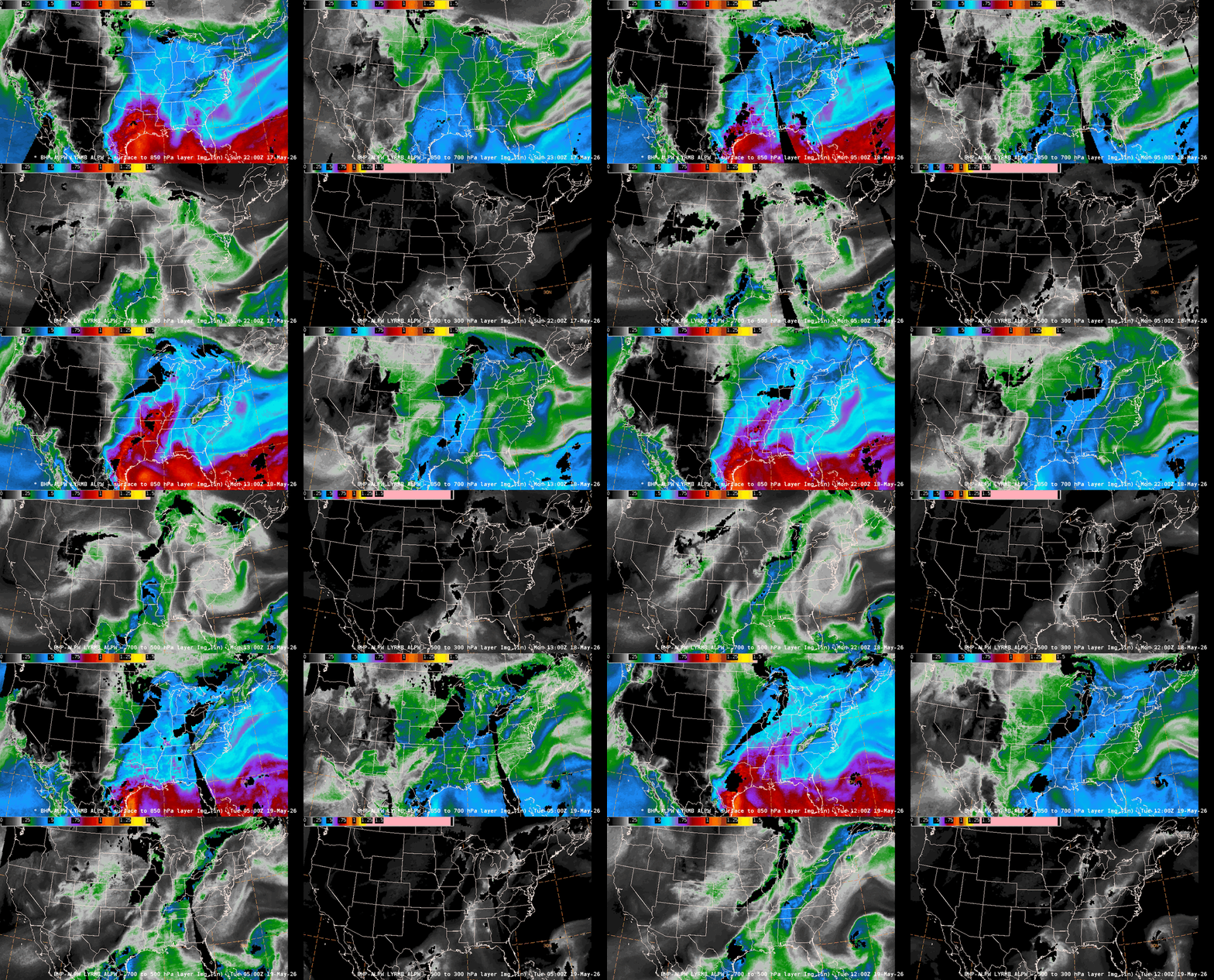
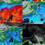
The NESDIS Advected Layered PW (ALPW) product provided a look at the fetch of moisture, well-connected to the Gulf at the lower levels, with the tropical East Pacific perhaps enhancing moisture aloft. You may notice a ‘retrograde’ in the deep tropical moisture transport in the lower levels after ~0600 UTC or so. This is likely due to a new microwave pass resetting the advection of deep tropical moisture. The advection in the hours between passes can be a bit aggressive and transport moisture northward too quickly.
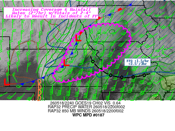
Early in the evening on 18 May 2026, the WPC MetWatch Desk issued a Mesoscale Precipitation Discussion (MPD) with a “Flash flooding likely” tag for eastern KS and northwestern MO up through southern IA. The discussion noted “sub-boundary layer LPW values near 1”.
GOES-East CONUS Band 13 infrared (IR) imagery overlaid with Flash Flood Warnings issued by NWS Weather Forecast Offices (WFOs) showed MO and IL were targets during the afternoon, while a massive complex of storms farther west led to an evening flash flood threat for those areas in the MPD. By morning, the complex of storms persisted across OK and southwestern MO.
Figure 9: GOES-East CONUS IR imagery overlaid with Flash Flood Warnings from 1301 UTC 18 May to 1251 UTC 19 May 2026. This video was created from AWIPS, and display files can be shared upon request.
LightningCast and GLM Flash Extent Density (FED) product outputs showed that the storms produced prolific amounts of lightning. LightningCast provided ample lead time prior to the GLM FED detecting lightning for the afternoon storms that fired in KS.
Figure 10: GOES-East CONUS IR imagery overlaid with LightningCast and GLM FED outputs from 1301 UTC 18 May to 1306 UTC 19 May 2026. This video was created from AWIPS, and display files can be shared upon request.